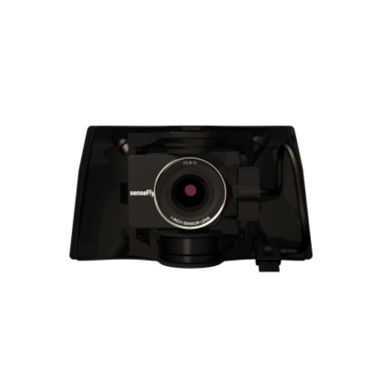
S.O.D.A. 3D
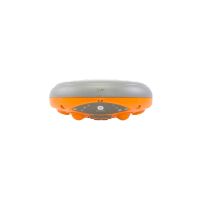
An enhanced SODA sensor variant that includes 3D data capture capabilities for terrain and structure analysis.
Learn MoreBlock: hero_product
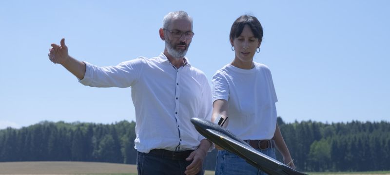
Deploy the future of aerial intelligence.
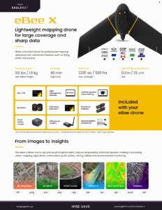
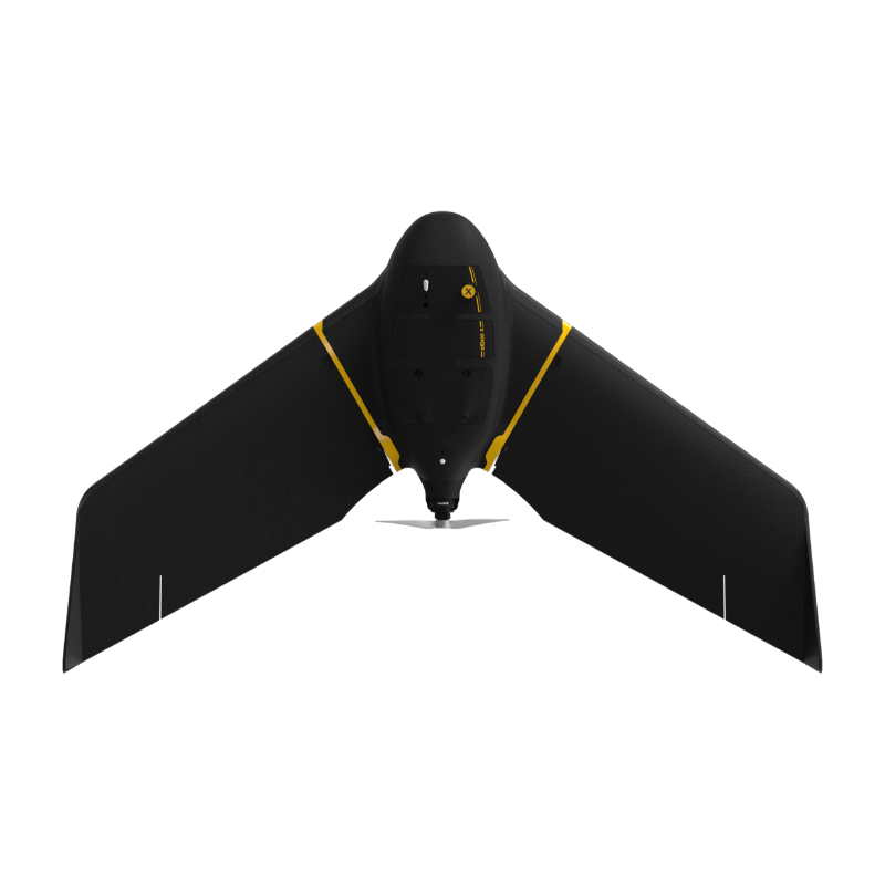
Engineered for superior endurance and maximum operational flexibility, eBee X is your essential aerial intelligence UAS. From infrastructure inspection to large-scale mapping, eBee X will get you the full picture, every time.
Block: features
Block: content_tabs

eBee X operators benefit from regulation advantages not available to heavier drones above 2 kg / 4.4 lbs.
BVLOS approved – granted Beyond Visual Line of Sight (BVLOS) operations permission in Brazil and European C6 marking, for BVLOS within the STS-02 Standard Scenario.
Flights Over People – approved to run Operations Over People (OOP) in Canada and United States, and Remote ID approved by the FAA.
SORA process – first drone to receive M2 Mitigation Design Verification for SORA process from EASA, essential for BVLOS and OOP authorization in the European Union, Australia, and New Zealand.
Successful impact tests to demonstrate operational safety around people.
Free from hard-front plastic parts.
Flight planning software integrates fail-safe protocols and live air traffic.
The eBee X and its eMotion flight planning software are beginner-friendly, yet packed with advanced features to tackle the toughest jobs. Definitely a smarter way to map.
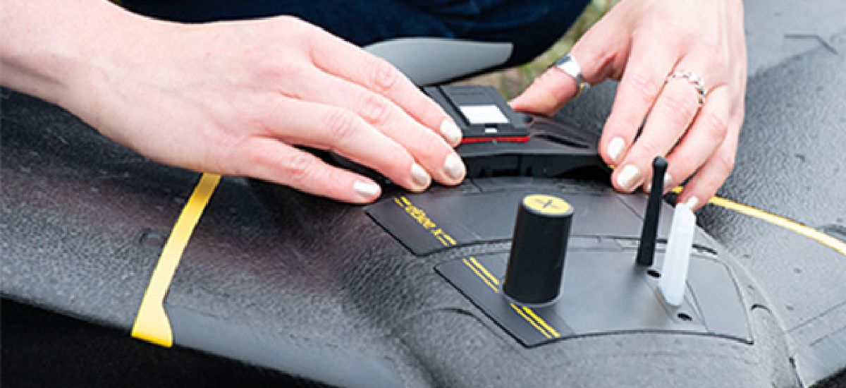
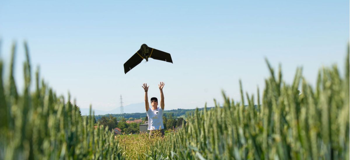
Easy hand-launch
Designed to restart the mission as soon as the drone lands and to be simply hand-launched.
3 minutes to deploy
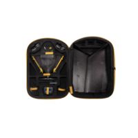
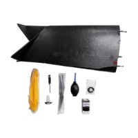
Operated by one user and easily transported in a backpack with all your gear in one spot.
Automated flight
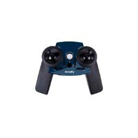
Automated flight and landing with eMotion mission planning software, which is included.

eBee fixed-wing drones are proven for their unmatched operational safety and ability to deliver high-quality data, from simple to complex missions. The U.S. Federal Aviation Administration (FAA) drone registration data from 2016 to 2021 confirms that the eBee is the most used fixed-wing drone in the United States.
500,000+ Flight hours
1,000,000+ Successful Flights
Preflight checks – Automated quick self-diagnosis before every flight
12 years Industry experience
Block: content_panel
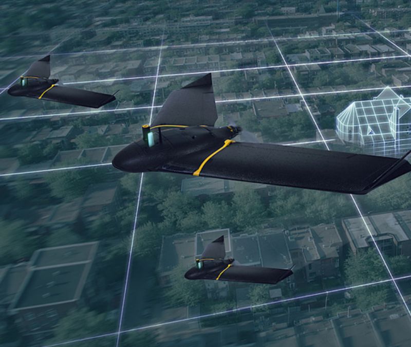
eMotion drone flight management software supports up to four eBees mapping simultaneously from the same ground station. Multi-drone flights increase the efficiency of time-sensitive missions, advanced operations, quick situation assessment, data integrity preservation and daily business activities.
Block: accordion


Block: logo_grid
Block: related_products
Choosing the right mapping camera for the mission is imperative. eBee X’s versatile design suits every job thanks to its range of groundbreaking, interchangeable mapping drone sensors.
An enhanced SODA sensor variant that includes 3D data capture capabilities for terrain and structure analysis.
Learn More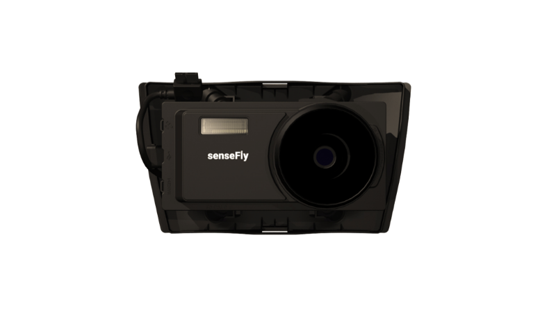
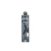
A high-performance sensor (likely multispectral or specialized) expanding EagleNXT’s aerial data capabilities.
Learn More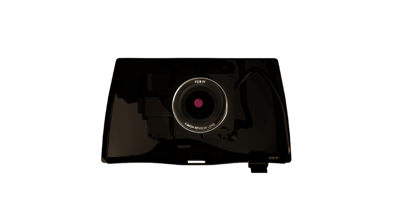
A sensor platform focused on delivering precise spectral imaging useful in professional mapping workflows.
Learn More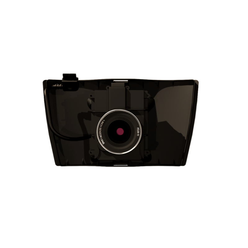
A sensor optimized for capturing detailed imagery along linear features such as roads, rail lines or infrastructure.
Learn More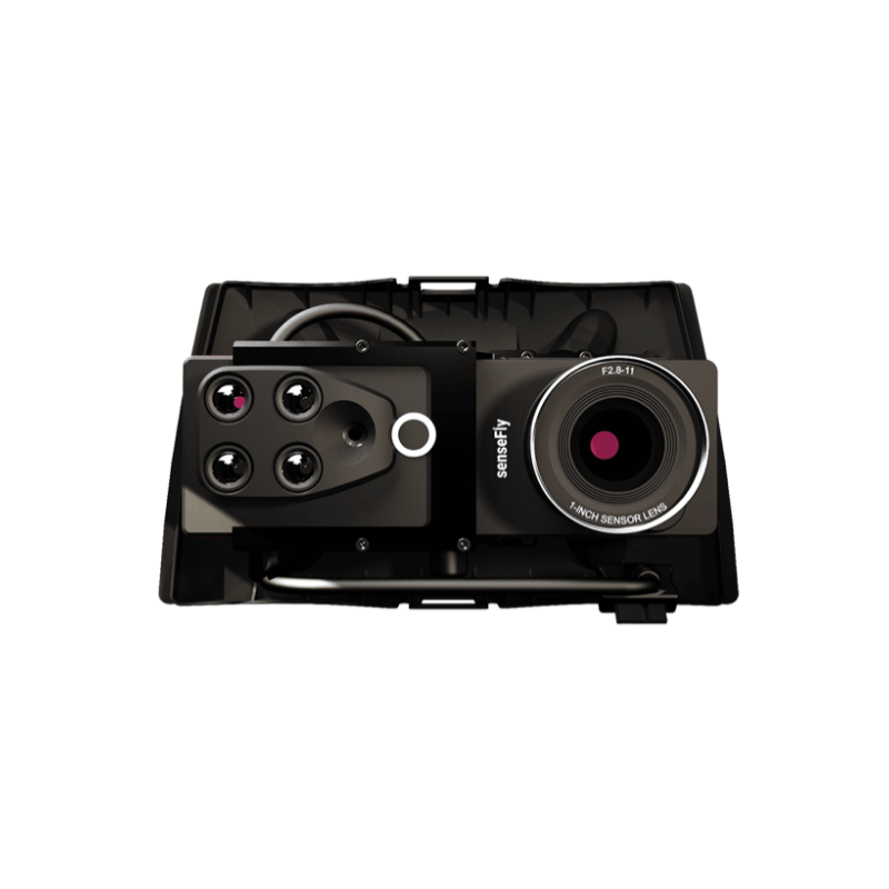
Block: flexible_cards

We are recognized throughout the industry for excellence in customer service. Our drone solutions include lifetime hardware, payload and eMotion support, plus free software and firmware updates. Should you require support in the field at any time, our global network of support service centers stands by to help.
The Certified Operator course will allow you to get the most from your fixed-wing drone and increase your operations’ ROI. Not sure if the course is right for you? Try the first four lessons for free!
In addition, we offer personalized professional training packages online and in person. Contact us to book a custom session with a distributor or us.
Block: resource_list
Block: product_brochure