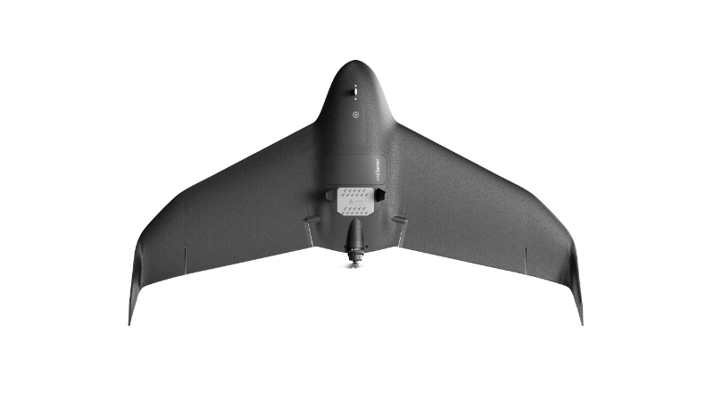
eBee VISION
A fixed-wing drone optimized for real-time situational awareness with advanced sensor integration.
Learn MoreBlock: hero
UAV INDUSTRY SOLUTIONS
Block: features
Block: content_tabs
Tactical military and security operations require both situational awareness and an accurate understanding of the operational environment. EagleNXT’s eBee systems address these requirements through two specialized capabilities.
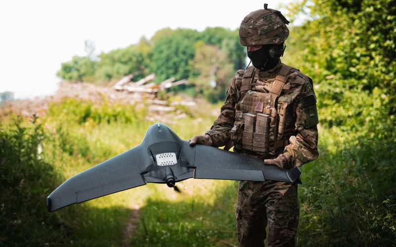
The eBee VISION provides real-time ISR through live HD video, optical zoom, thermal imaging, and operation in contested or GNSS-denied environments. Its primary role is reconnaissance, surveillance, target observation, force protection, training, and persistent situational awareness.
The eBee TAC focuses on tactical geospatial intelligence. Operating in disconnected environments, it rapidly generates survey-grade orthomosaics and 3D models that can be shared through ATAK and other command-and-control systems, enabling mission planning, route assessment, and battlefield mapping.
Together, these systems provide defense organizations with both real-time visual intelligence and actionable geospatial information.
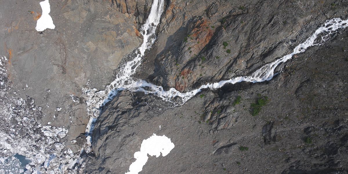
Warfighters and frontline defenses use rapidly deployable UAVs to map terrain, areas and activities of interest. This near real-time situational awareness provides ground forces with a tactical advantage for rapidly planning and executing mission operations while enhancing safety.
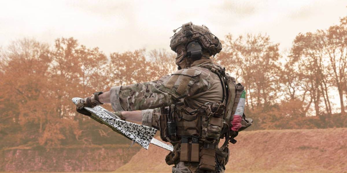
The eBee TAC and X feature mission-directed swappable sensors capable of RGB, 3D, multispectral and thermal capabilities. The eBee family of drones, including the VISION, can provide detailed intelligence for analysis and decision making. Unclassified intelligence can be shared and integrated with situational awareness tools such as ATAK.
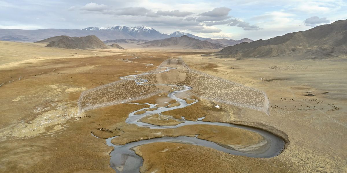
Operators gather real-time intelligence about the local terrain, friendly unit actions, equipment recognition and possible enemy threats. The data collected also supports change detection.
Block: content_tabs
Accurate geospatial information is the foundational component for intelligence preparation on the battlefield.
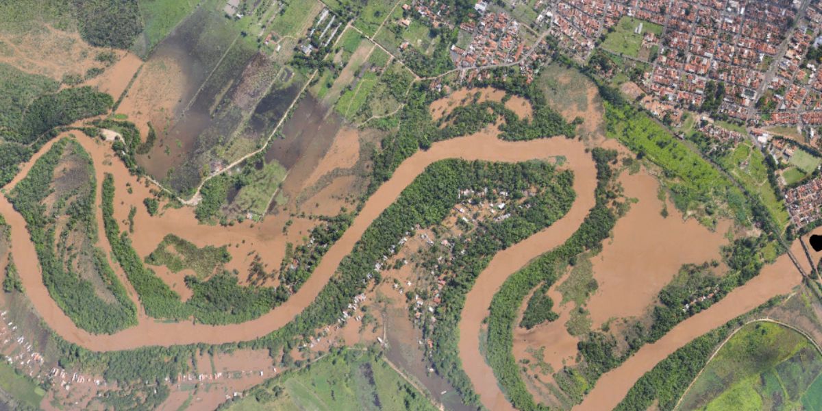 Area obstacles
Aerial 3D maps enable terrain visualization, adding realism to mission planning and rehearsal activities for urban missions.
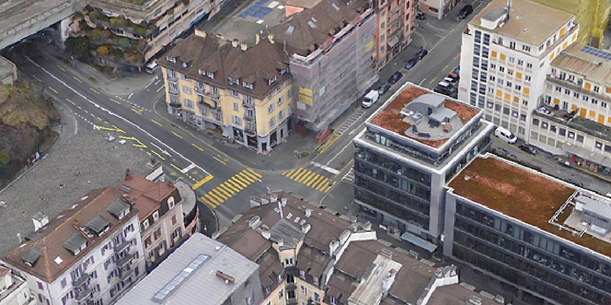
Operators can use 3D imagery to characterize choke points for traffic and mission operations using accurate dimensions. For example, cameras such as the S.O.D.A. provide an RGB resolution of 5,472 x 3,648 px for detailed, vivid orthomosaics and ultra-accurate 3D digital surface models.
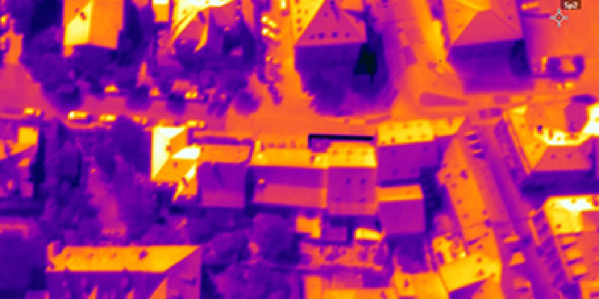
Thermal camera-generated 2D maps help soldiers see areas of interest not visible in RGB imagery. The eBee series Duet T thermal mapping camera includes a high-resolution thermal infrared (640 x 512 px) camera and a S.O.D.A. RGB camera with a built-in Camera Position Synchronisation feature for seamless image overlays.
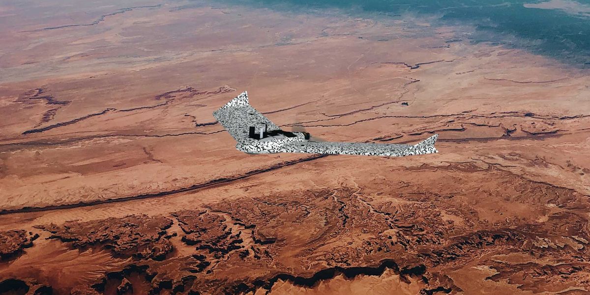
As planned courses of action change often, sUAV operators need the flexibility to modify missions on-the-fly to provide additional input as required and complete the mission.
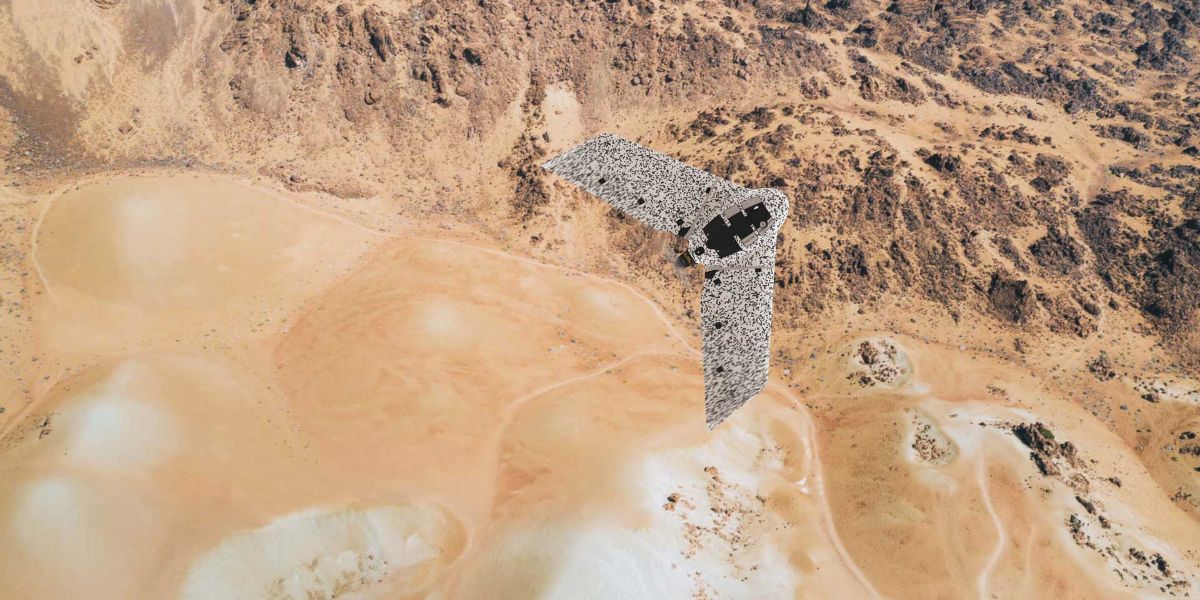
The degree of detail required in analyzing the battlespace environment varies depending on the mission; and for this reason, the operator can adapt eBee sUAV accuracies to the mission.
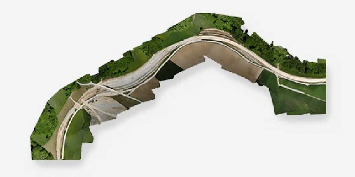
In complex environments eBee sUAS help operators to open mobility corridors quickly. For example, eBee TAC enables operators to map up to 18.7 km / 11.6 mi corridors, approximately 3X longer than a typical quadcopter’s coverage of 9 km / 5.6 mi per battery by comparison.
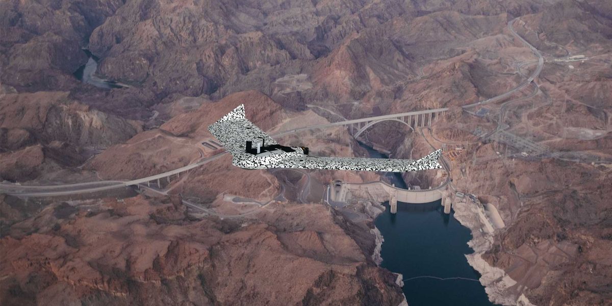
Rapidly shifting environments requires a highly accurate mobile solution to provide current intel on roadways and threats. The eBee TAC can cover up to 500 ha / 1,235 ac mission coverage while flying at 120 m / 400 ft to deliver insights on transportation and infrastructure for planning, decisions and safe transport.
Block: grid_links
Block: flexible_cards
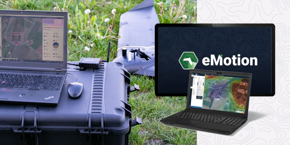
eMotion software is a leading drone software solution for flight planning, geotagging and photo stitching. From here the imagery can be exported for further processing in Pix4D and other software.
Military forces can also integrate further with ATAK for situational awareness, moving maps and the ability to share unclassified data quickly, accurately and securely – while mitigating risk.
Block: related_products
A fixed-wing drone optimized for real-time situational awareness with advanced sensor integration.
Learn More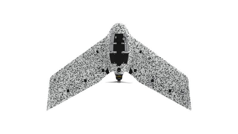
A tactical drone system built for mission-ready reconnaissance, surveillance and defense operations.
Learn More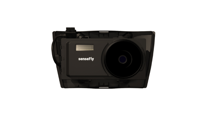
A high-performance sensor (likely multispectral or specialized) expanding EagleNXT’s aerial data capabilities.
Learn More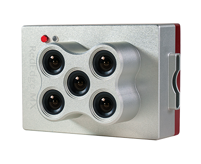
Lightweight, rugged, professional multispectral sensor designed for field-scale precision agriculture and environmental monitoring
Learn More