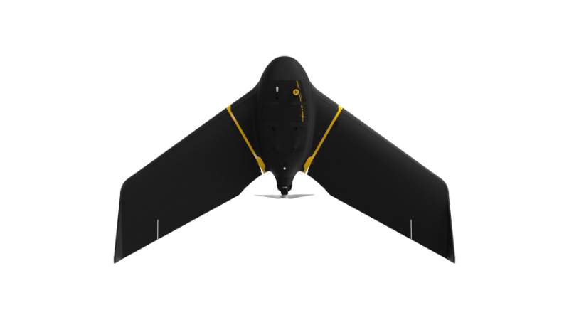
eBee X
A high-performance, fixed-wing professional mapping drone designed for large-area aerial surveying and automated data capture.
Learn MoreBlock: hero
UAV INDUSTRY SOLUTIONS
Block: features
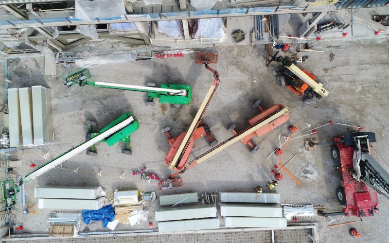
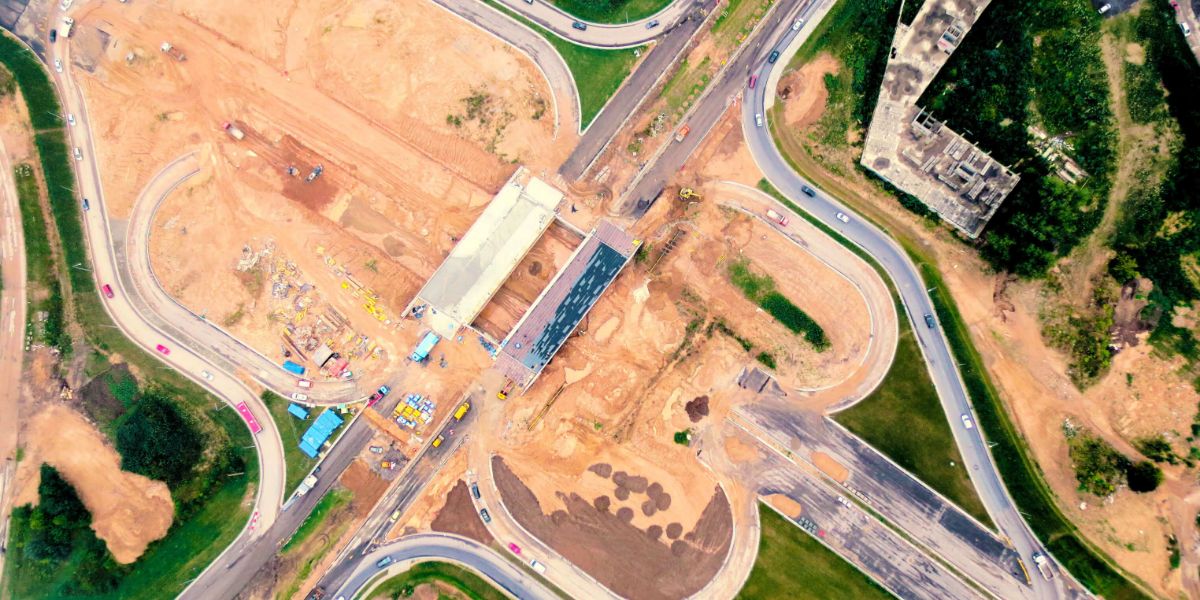
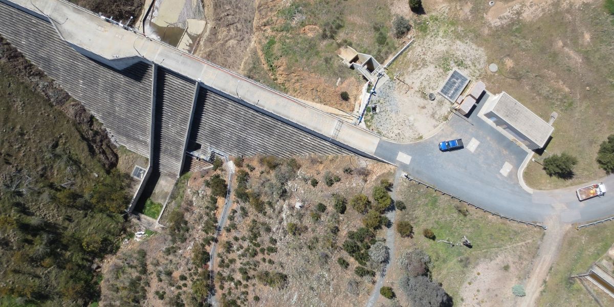
Fixed-wing drones have made it safer, faster and less expensive to collect geospatial data. From the early pre-construction phase to tracking weekly material inventories, drones have made it easier for surveyors, engineers and project managers to work smarter with greater productivity and efficiency.
Block: content_tabs
Thanks to the efficiency of drones, surveying a new construction site takes minutes, requires less resources and comes at a very low cost. Following are a few areas where construction and engineering professionals are using drones today:
Block: content_tabs

Produce a topographical survey of the entire project to ensure accuracy in planning from bid to groundbreaking.
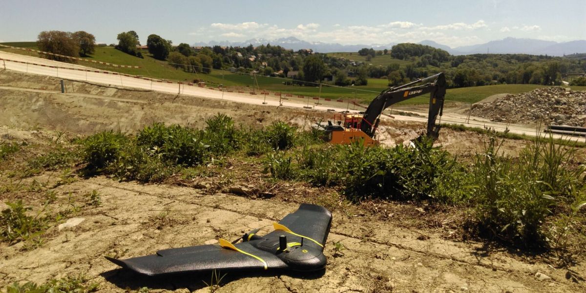
Generate fast 2D and 3D maps to track earthworks progress, measure weekly stockpile volumes and develop accurate estimates.

Conduct weekly reporting and monitor monthly KPIs to collaborate with project stakeholders.
Block: grid_links
Block: flexible_cards
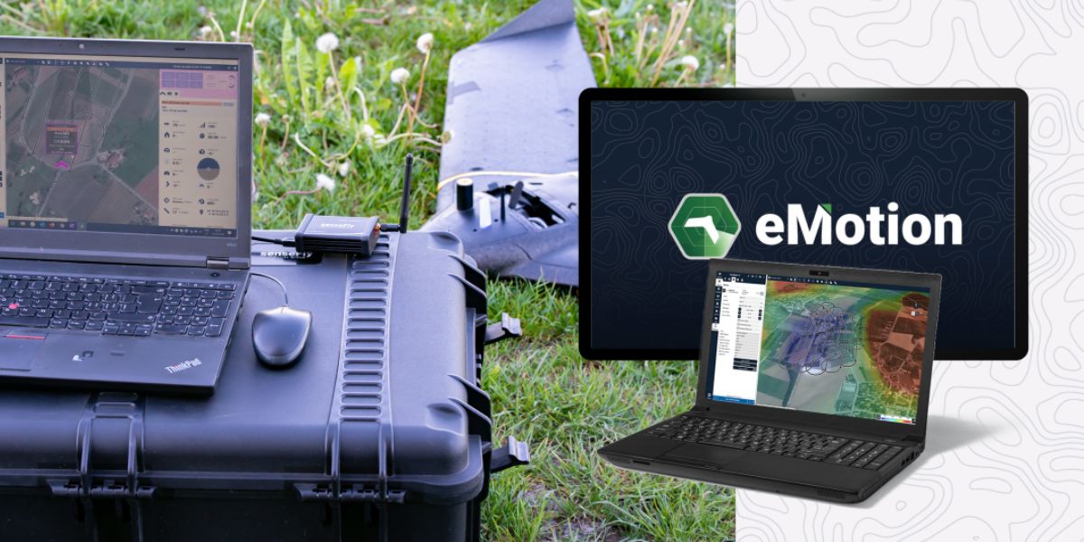
eMotion software is a leading drone software solution for flight planning, geotagging and photo stitching. From here the imagery can be exported for further processing in Pix4D and other software.

PIX4Dfields photogrammetry software is a popular solution for vegetation and crop mapping and analyses.

Measure Ground Control can be used to manage a drone fleet, as well as to process multispectral imagery from MicaSense sensors
Block: related_products
A high-performance, fixed-wing professional mapping drone designed for large-area aerial surveying and automated data capture.
Learn MoreBlock: relevant_resources