S.O.D.A. 3D
An enhanced SODA sensor variant that includes 3D data capture capabilities for terrain and structure analysis.
Learn MoreBlock: hero_product
Keep an eye on what matters most.
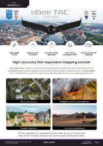
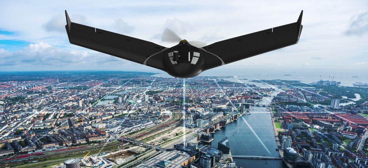
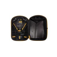
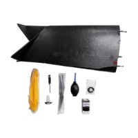
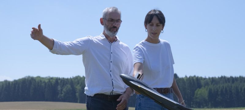
Carried in a backpack, operated by one person, and deployed in 3 minutes, eBee TAC Public Safety is your first response in emergency situations: a photogrammetry drone that provides 2D, 3D and thermal aerial data over large areas.
Block: features
Block: content_tabs
Thanks to its lightweight, eBee TAC Public Safety can be safely operated under many regulatory frameworks.
North America:
Europe:
Remote ID:
eBee TAC meets the highest possible quality and ground risk safety standards and has demonstrated operational safety around people.
Successful impact tests to demonstrate operational safety around people.
Free from hard-front plastic parts.
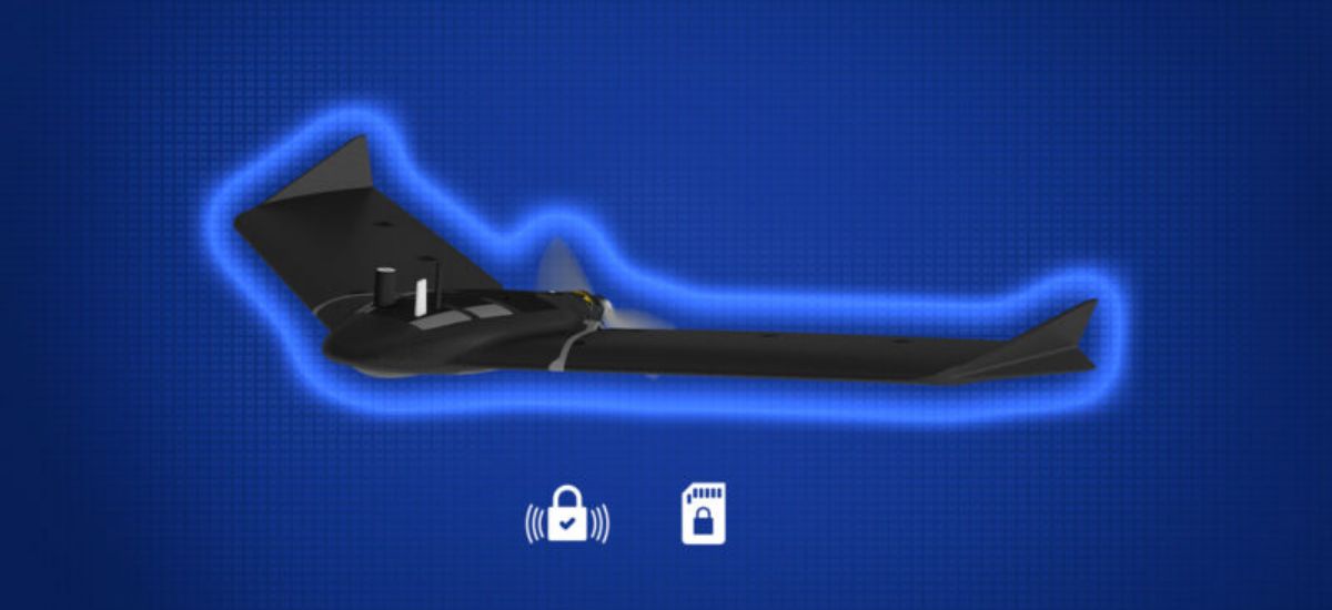
Flight planning software integrates fail-safe protocols and live air traffic.
Live air traffic awareness with Ping USB accessory.
Block: accordion

Block: related_products
An enhanced SODA sensor variant that includes 3D data capture capabilities for terrain and structure analysis.
Learn More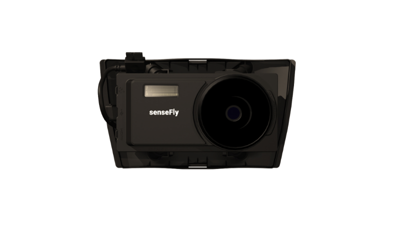
A high-performance sensor (likely multispectral or specialized) expanding EagleNXT’s aerial data capabilities.
Learn More
A sensor platform focused on delivering precise spectral imaging useful in professional mapping workflows.
Learn More
A sensor optimized for capturing detailed imagery along linear features such as roads, rail lines or infrastructure.
Learn More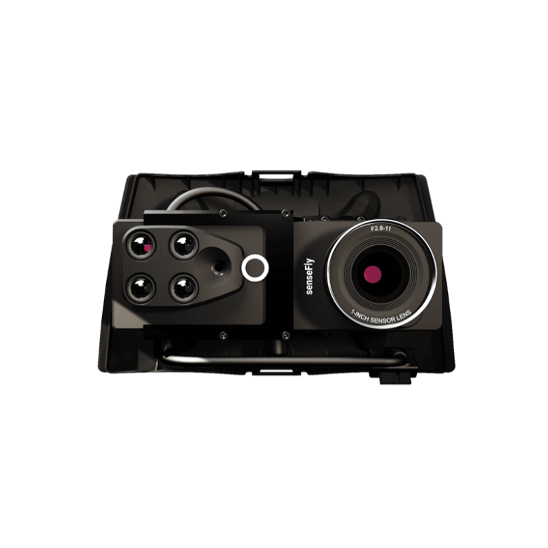
Block: flexible_cards

We are recognized throughout the industry for excellence in customer service. Our drone solutions include lifetime hardware, payload and eMotion support, plus free software and firmware updates. Should you require support for your mission or when coming back from the field, our global support network and R&D team stand by to help.
Available online and in-person, our eBee TAC training addresses public safety needs. With a military background, our training team has performed real missions worldwide. In addition, we offer customized training focused on different field missions at our headquarters in the U.S. and Europe.
Block: product_brochure