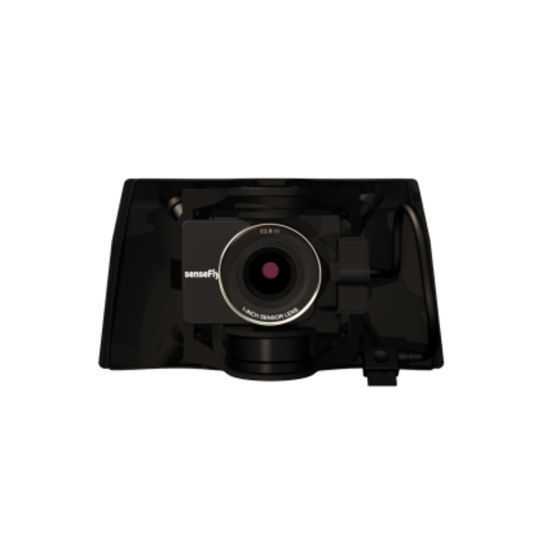
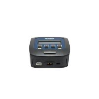
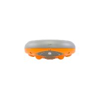
S.O.D.A. 3D
An enhanced SODA sensor variant that includes 3D data capture capabilities for terrain and structure analysis.
Learn MoreBlock: hero_product
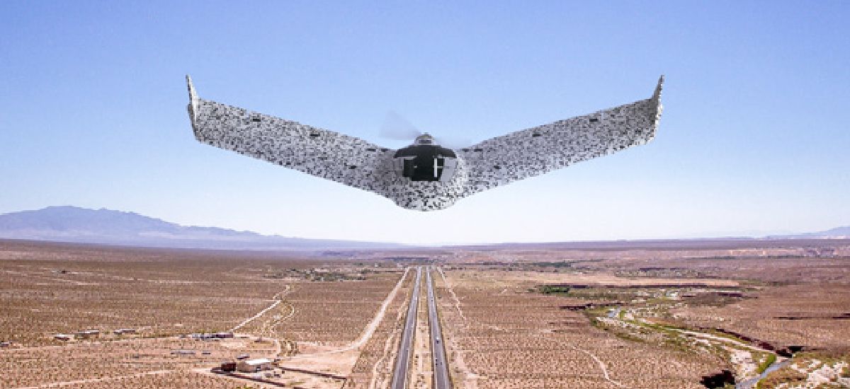
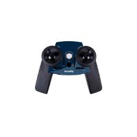
Command the sky with confidence.
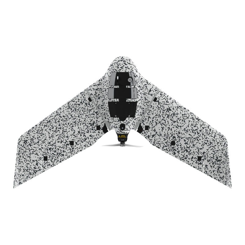
From surveillance missions to tactical mapping, eBee TAC is a Blue UAS-approved, cyber-secure UAV that can be operated by one person, deployed in 3 minutes and perform with precision in disconnected environments.
Block: features
Block: content_tabs
eBee TAC is a fully operational and approved solution used by armed forces worldwide.
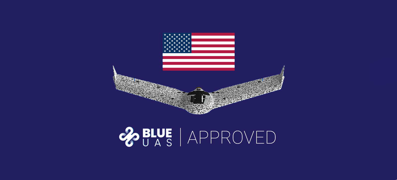
Blue UAS certified
This designation makes the eBee TAC eligible for procurement by the U.S. Department of Defense (DoD) and other federal agencies and recognizes the drone as compliant with security and performance standards required by the DoD.
BVLOS approved
eBee drones have been granted Beyond Visual Line of Sight (BVLOS) operations permission in Brazil.
Flights Over People
Approved to run Operations Over People (OOP) in Canada and in the United States.
SORA process
eBee drones are the first to receive M2 Mitigation Design Verification for SORA process from the European Aviation Agency (EASA), essential for advanced operations.
NDAA compliant
With a connectable solution that has been proven cyber-secure, eBee TAC is National Defense Authorization Act (NDAA) compliant, an essential requirement to prevent malicious hacking. No eBee TAC drone components, hardware or software are from any blacklisted companies or countries.
eBee TAC meets the highest possible quality and ground risk safety standards and has demonstrated operational safety around people.
Successful impact tests to demonstrate operational safety around people.
Free from hard-front plastic parts and rear-facing motor.
Flight planning software integrates fail-safe protocols and live air traffic.
Live air traffic awareness with Ping USB accessory.

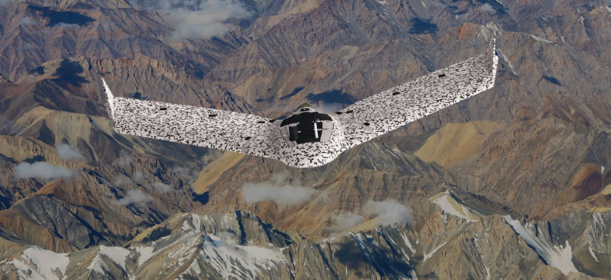
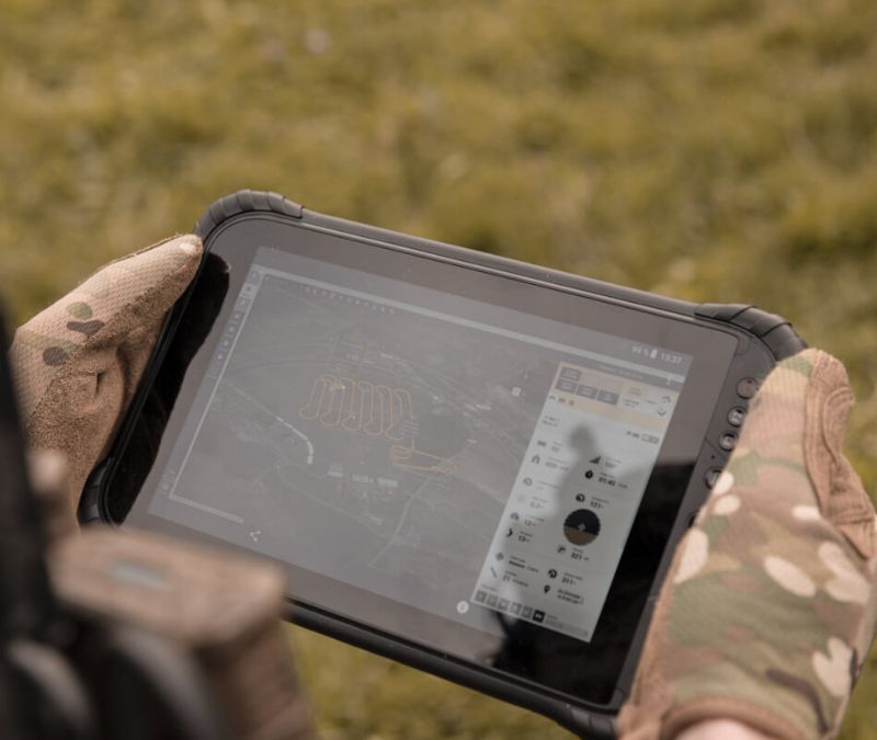
With advanced features, the eBee TAC has all the functionality you need to collect and manage geospatial data and act with precision.
Operated by one person
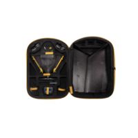
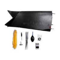
Easy to train, use and carry in a hard transport case with STANAG certification.
3 minute deployment
Standalone and PPK deployment, 3 minutes. With RTK, 10 minutes.
Fly up to 90 minutes per flight
Efficiently map up to 500 ha / 1,235 ac while flying at 120 m / 400 ft.
Large area coverage
With a flight range of 55 km / 34 mi, eBee TAC can cover large and inaccessible areas.
Easy maintenance
Maintained without requiring external support.
eBee TAC is designed and built for the tactical mapping demands of defense applications to improve mission effectiveness in a variety of terrains. The hardware, software, cybersecurity and reliability of the product have been assessed by the U.S. Defense Innovation Unit (DIU).
90,490+ Flight hours
173,600+ Cumulated flights
1/1,750 hours – Fly away probability
12 years Industry experience
Block: content_panel
Kitted solution created in collaboration with Hexagon US Federal and Tough Stump Technologies.
This Aerial Reconnaissance Tactical Mapping and Imagery System kit available for the U.S. includes the eBee TAC drone, Google Earth Enterprise Platform (GEEP) and can be integrated with situational awareness tools such as ATAK.
Block: accordion
Block: logo_grid
Block: related_products
An enhanced SODA sensor variant that includes 3D data capture capabilities for terrain and structure analysis.
Learn More
A high-performance sensor (likely multispectral or specialized) expanding EagleNXT’s aerial data capabilities.
Learn MoreBlock: flexible_cards

We are recognized throughout the industry for excellence in customer service. Our drone solutions include lifetime hardware, payload and eMotion support, plus free software and firmware updates. Should you require support for your mission or when coming back from the field, our global support network and R&D team stand by to help.

Available online and in-person, our eBee TAC training addresses defense, search & rescue, security and emergency response needs. With a military background, our training team has performed real missions worldwide. In addition, we offer customized training focused on different field missions at our headquarters in the U.S. and Europe.
Block: product_brochure