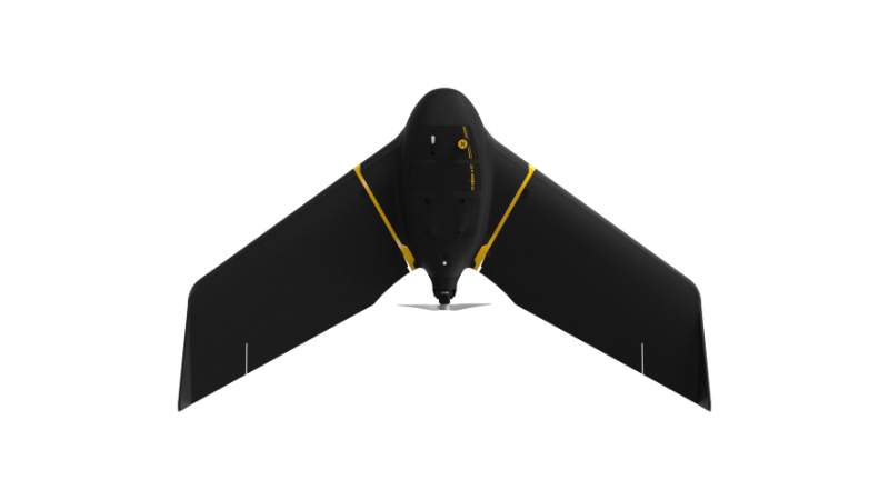
eBee X
A high-performance, fixed-wing professional mapping drone designed for large-area aerial surveying and automated data capture.
Learn MoreBlock: hero
UAV INDUSTRY SOLUTIONS

Block: flexible_cards
Empower law enforcement, emergency responders, defense teams, and critical infrastructure operators with actionable intelligence that enhances decision-making, protects communities, and saves lives.
Block: grid_links
The data output depends on your sensor and processing software, as dictated by your data requirements, which in turn determines the drone you will need to carry the payload with sufficient flight time. Typical drone data outputs you can expect from eBee drones, MicaSense sensors and Measure Ground Control include:
Block: flexible_cards
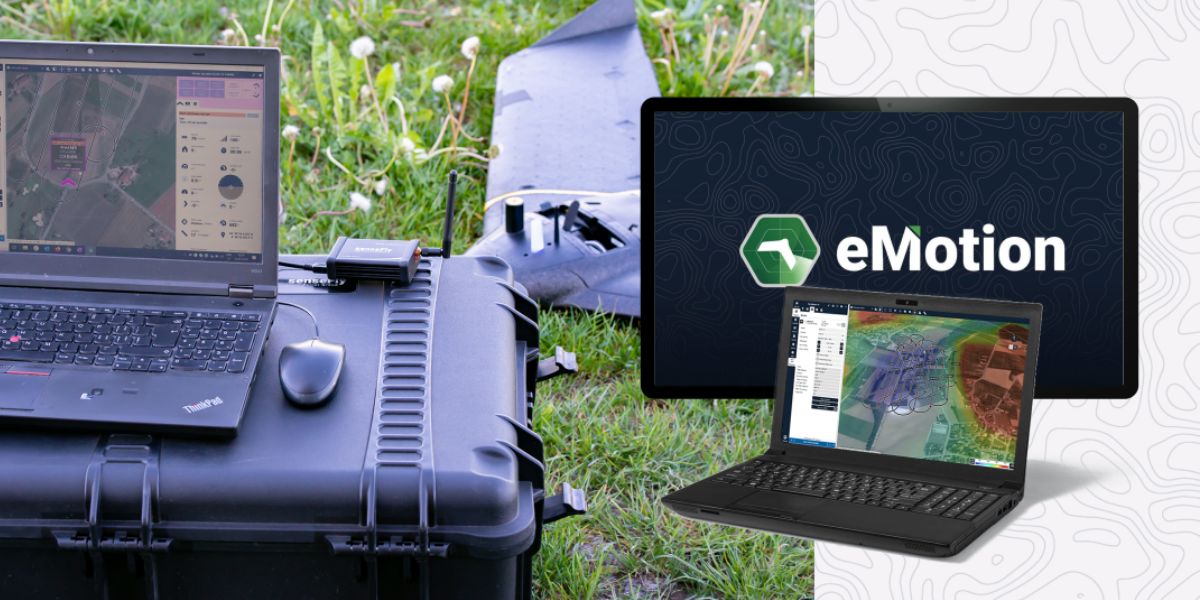
eMotion software is a leading drone software solution for flight planning, geotagging and photo stitching. From here the imagery can be exported for further processing in Pix4D and other software.

PIX4Dfields photogrammetry software is a popular solution for vegetation and crop mapping and analyses.

Measure Ground Control can be used to manage a drone fleet, as well as to process multispectral imagery from MicaSense sensors
Block: related_products
A high-performance, fixed-wing professional mapping drone designed for large-area aerial surveying and automated data capture.
Learn More
An advanced multi-payload sensor combining thermal and multispectral imaging for detailed aerial data analytics.
Learn More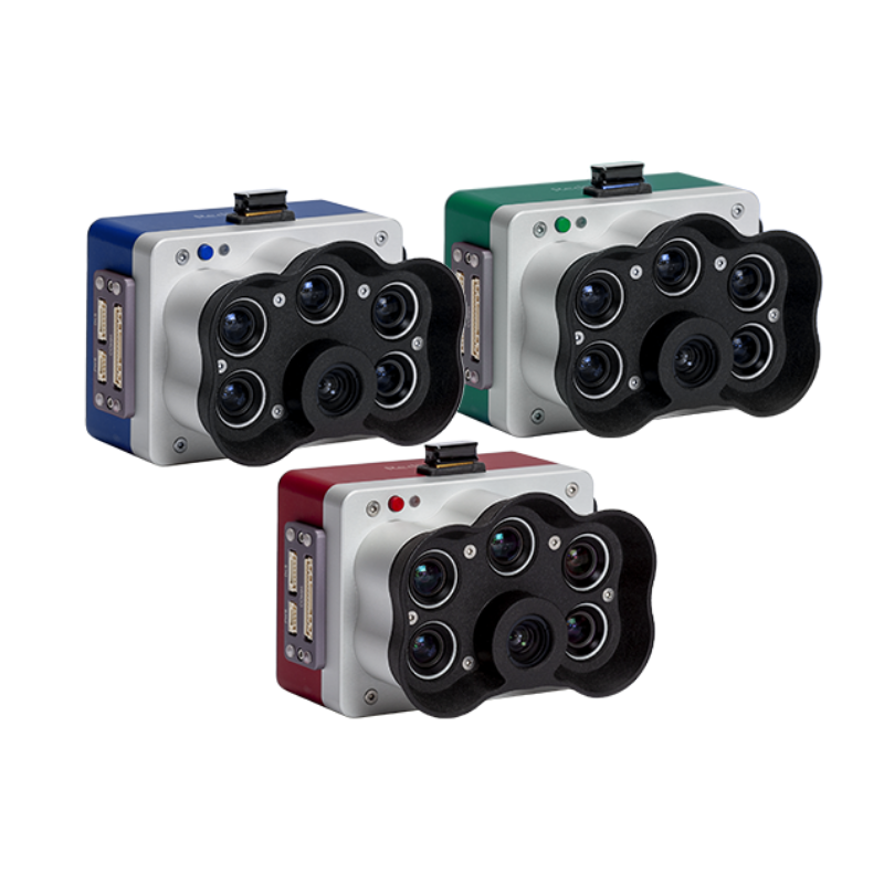
A high-resolution multispectral camera engineered for precision agriculture and environmental mapping.
Learn MoreBlock: relevant_resources