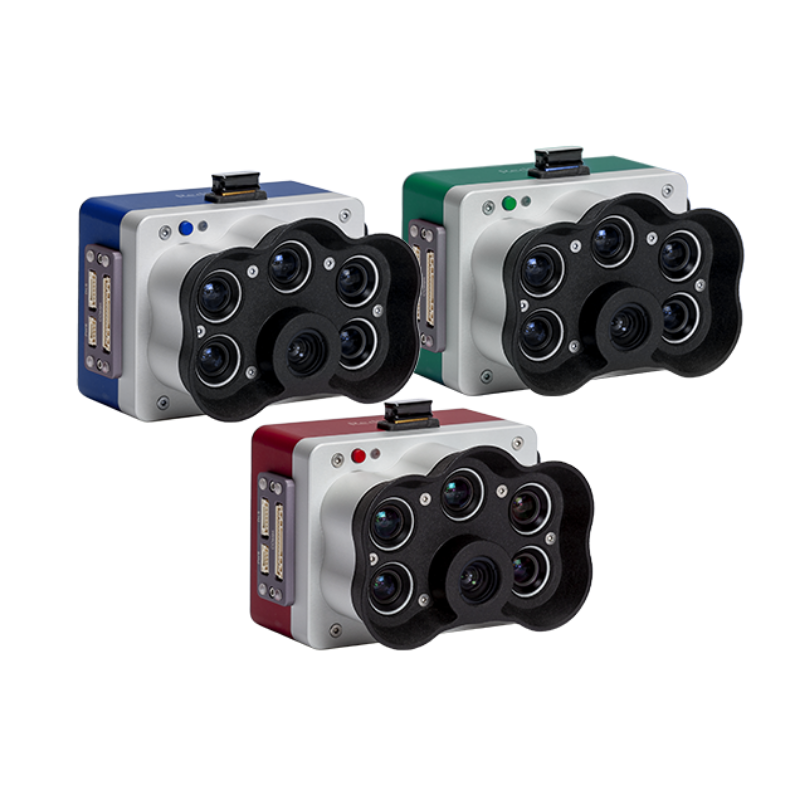
RedEdge-P
A high-resolution multispectral camera engineered for precision agriculture and environmental mapping.
Learn MoreBlock: hero
UAV INDUSTRY SOLUTIONS

Block: features
Block: content_tabs
Site progress tracking in construction, volume measurements in mining.
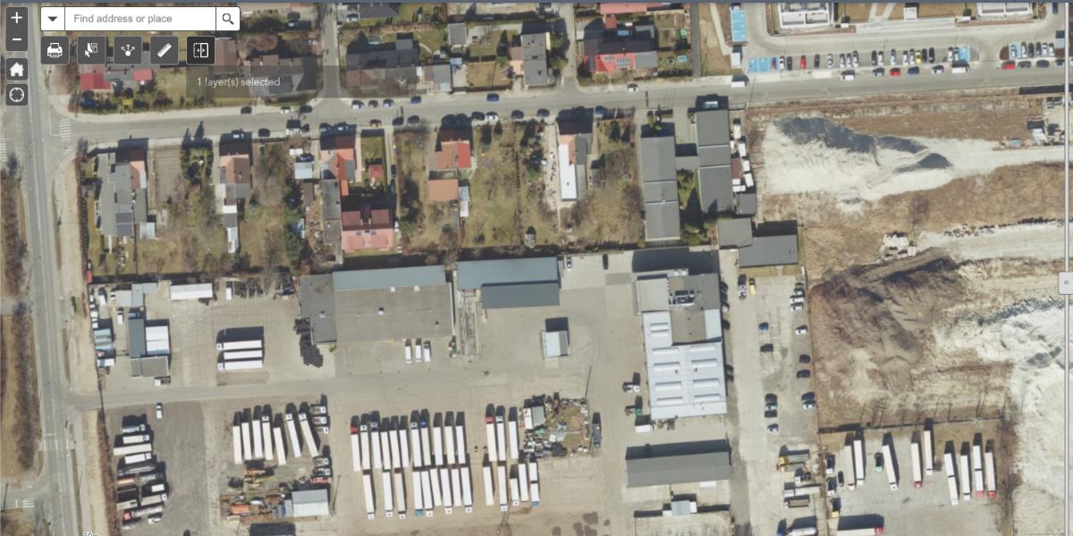
Real estate sales and building, media field assignments.
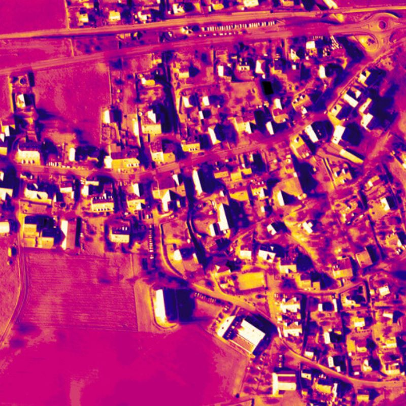
Thermal imaging for construction, energy and security.
Roofing and estate appraisals, insurance claims and inspections.
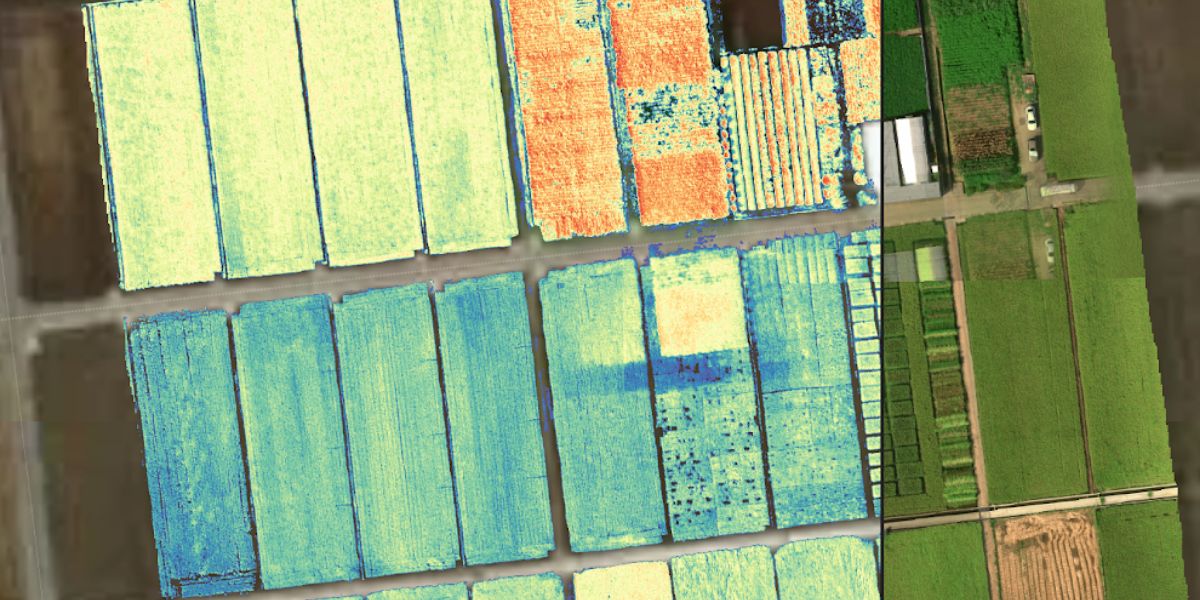
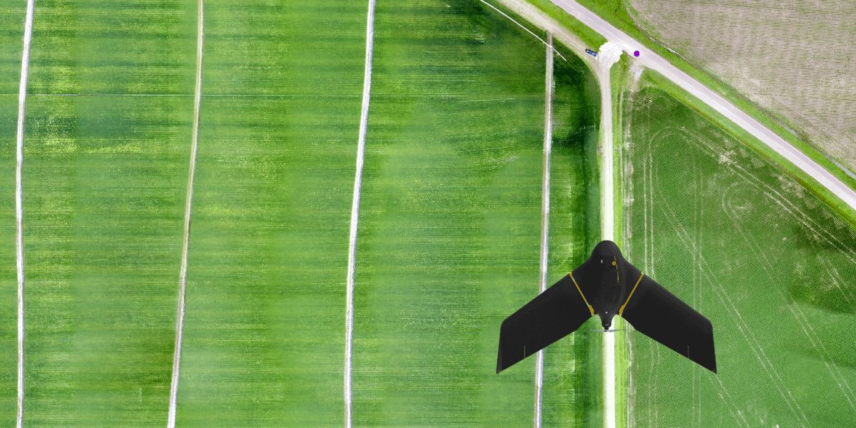
Crop health monitoring, population counts, pest & disease identification.
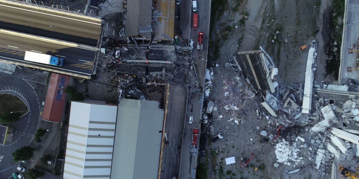
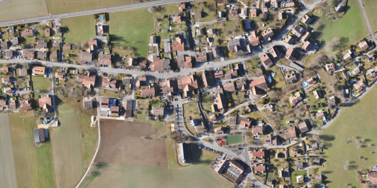
Site reconstruction, documentation, search and rescue.
Block: grid_links
The data output depends on your sensor and processing software, as dictated by your data requirements, which in turn determines the drone you will need to carry the payload with sufficient flight time. Typical drone data outputs you can expect from eBee drones, MicaSense sensors and Measure Ground Control include:
Block: flexible_cards
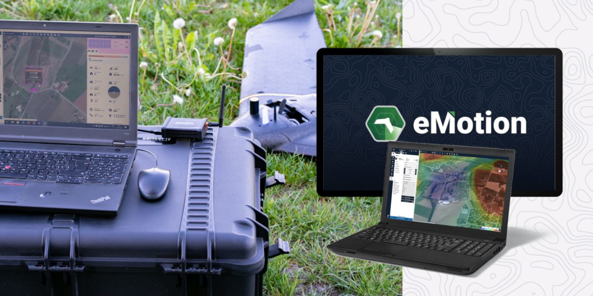
eMotion software is a leading drone software solution for flight planning, geotagging and photo stitching. From here the imagery can be exported for further processing in Pix4D and other software.

PIX4Dsurvey and PIX4Dcloud are popular photogrammetry solutions for generating orthomosaic maps and 3D DSMs for sharing.
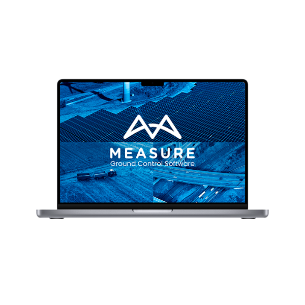
Measure Ground Control can be used to manage a drone fleet, as well as to process multispectral imagery from MicaSense sensors. Service providers can use Measure to access data from anywhere in real-time, track and monitor several projects at once and streamline communications and reporting to clients.
Block: related_products
A high-resolution multispectral camera engineered for precision agriculture and environmental mapping.
Learn MoreBlock: relevant_resources