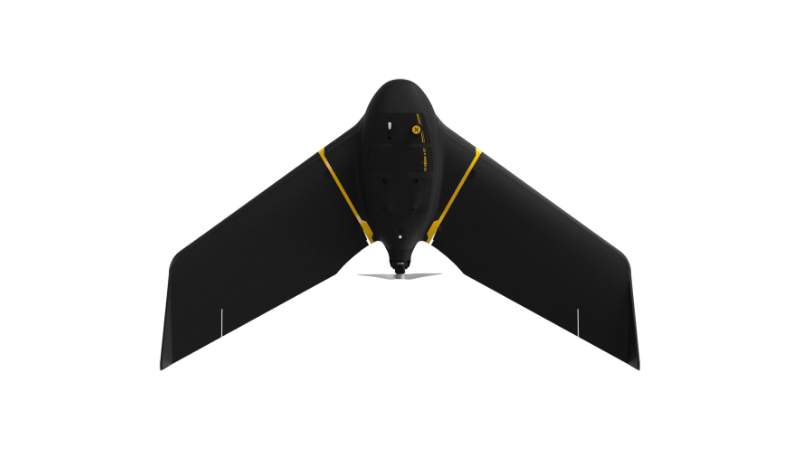
eBee X
A high-performance, fixed-wing professional mapping drone designed for large-area aerial surveying and automated data capture.
Learn MoreBlock: hero
UAV INDUSTRY SOLUTIONS
Block: features
Block: content_tabs
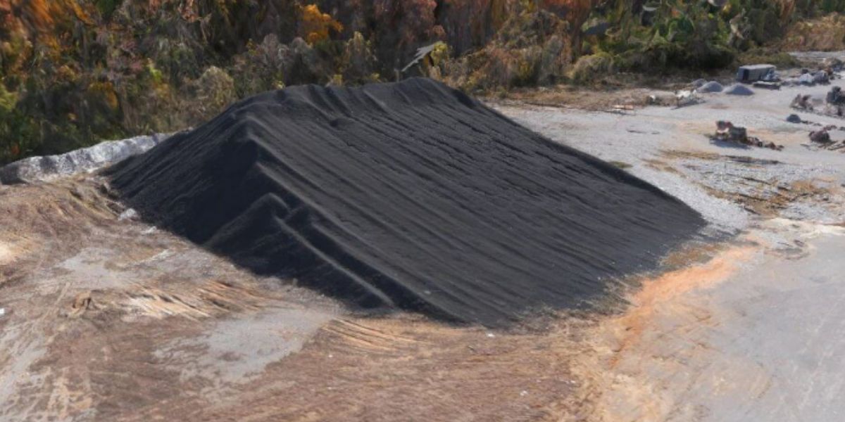
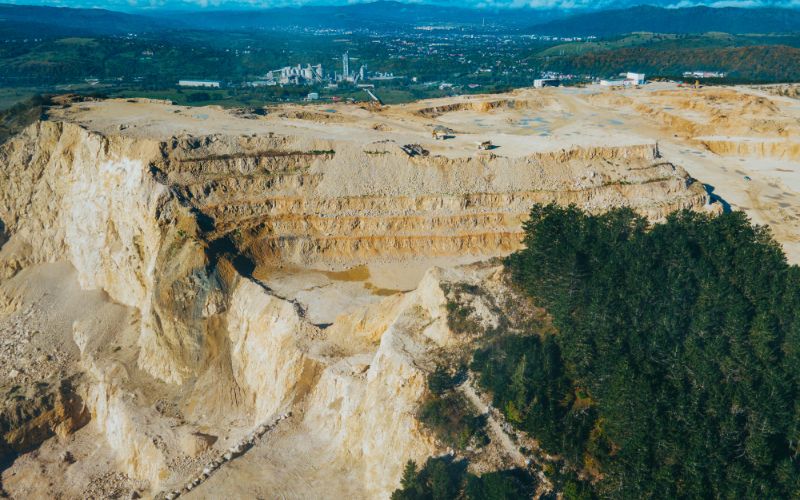
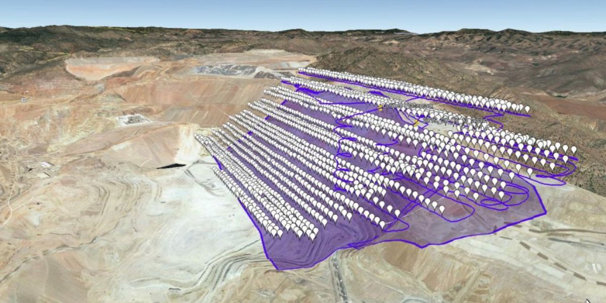
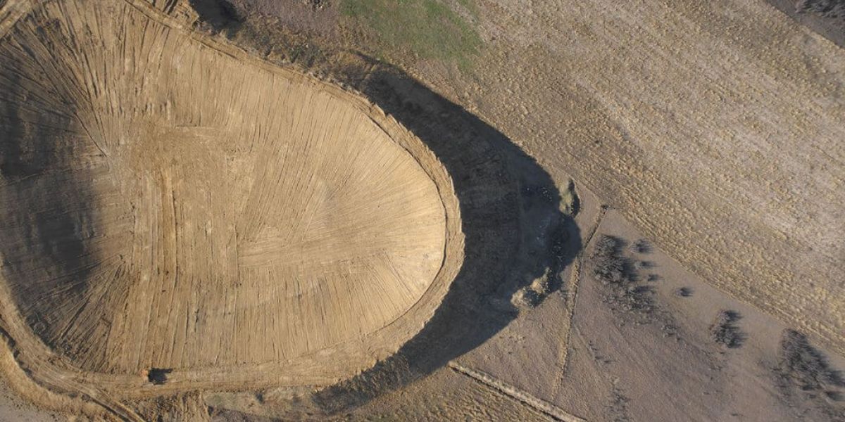
Stockpile monitoring and inventory are key in open pit operations. Drone data can be used to quickly calculate complex volumes with precision and without risk to the surveyor.
Frequent high accuracy data collection allows better monitoring of site occupation, soil conditions, and traffic management. This data can also be used to design and optimize haulage roads and tailings facilities.
Accurate drone data can be used to monitor slope stability, tailings facilities, the bench and bench face, and for environmental monitoring to prevent catastrophic accidents.
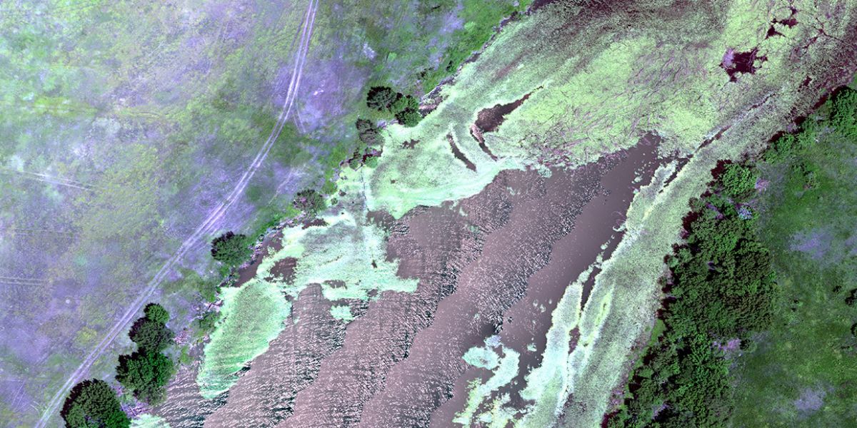
Drones can help with effective mine water management to improve operational performance by controlling water supply, accumulation and extraction, balance, storage, condition monitoring, and managing adverse hydrological changes through mapping outputs.
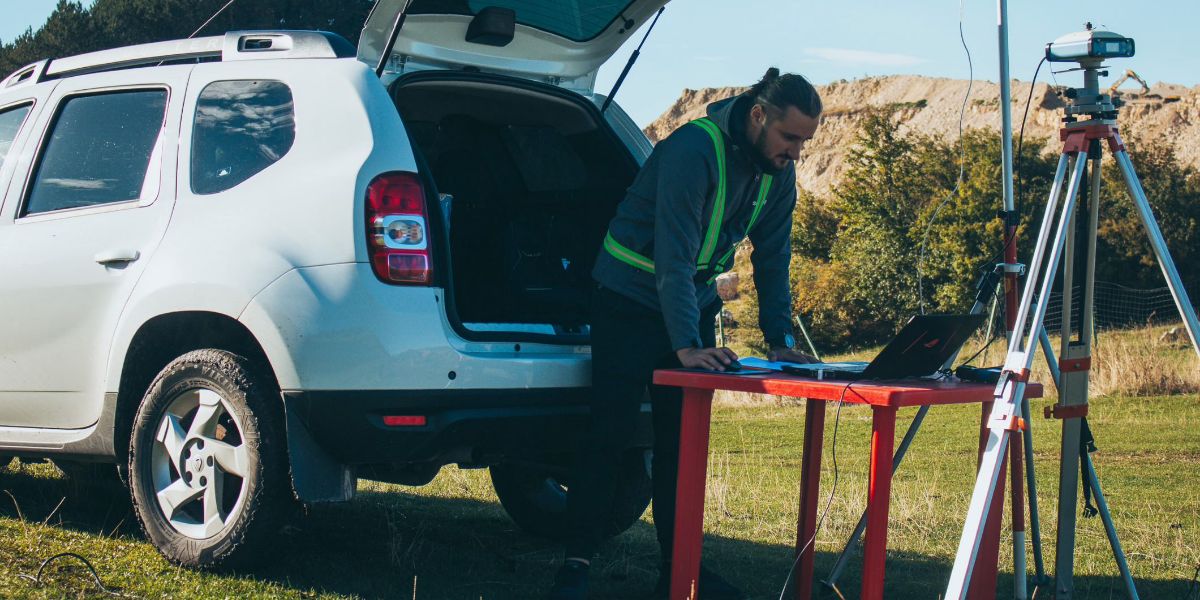
Drones reduce the risks of mapping inaccessible areas in quarries and mines. By deploying a fixed-wing mapping drone mine staff can spend more time safely inspecting the data outputs.
Drones can be used to monitor a mine’s perimeter for security breaches or for general asset monitoring and management.
Block: grid_links
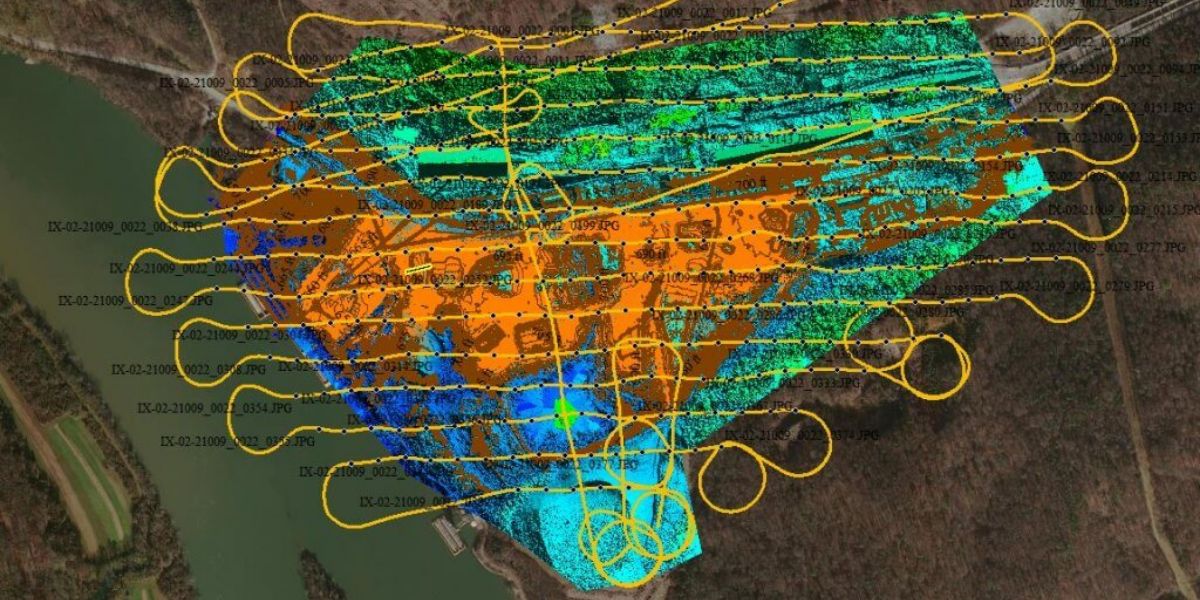
Drone data output depends on the sensor and processing software. Select a sensor based on your data requirements. Your sensor choice will determine the drone you need to carry this payload. Typical drone data outputs you can expect from eBee fixed-wing drones, MicaSense and senseFly sensors and Measure Ground Control software include:
Block: flexible_cards
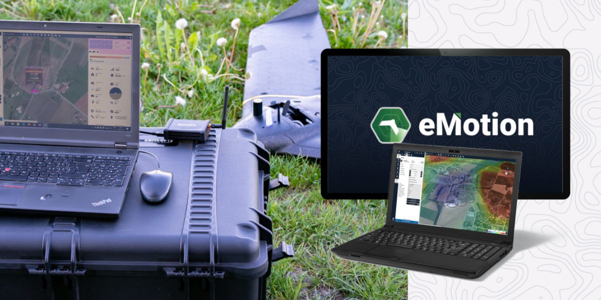
eMotion software is a leading drone software solution for flight planning, geotagging and photo stitching. From here the imagery can be exported for further processing in Pix4D and other software.

PIX4Dmapper, PIX4Dsurvey and PIX4Dcloud photogrammetry software are popular solutions for stockpile measurement and to generate cut/fill maps.

Measure Ground Control can be used to manage a drone fleet, as well as to process multispectral imagery from MicaSense sensors.
Block: related_products
A high-performance, fixed-wing professional mapping drone designed for large-area aerial surveying and automated data capture.
Learn More
A high-resolution multispectral camera engineered for precision agriculture and environmental mapping.
Learn More
An advanced multi-payload sensor combining thermal and multispectral imaging for detailed aerial data analytics.
Learn MoreBlock: relevant_resources