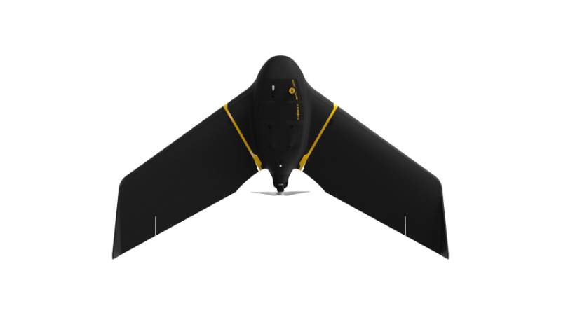
eBee X
A high-performance, fixed-wing professional mapping drone designed for large-area aerial surveying and automated data capture.
Learn MoreBlock: hero
UAV INDUSTRY SOLUTIONS

Block: features
Block: content_tabs
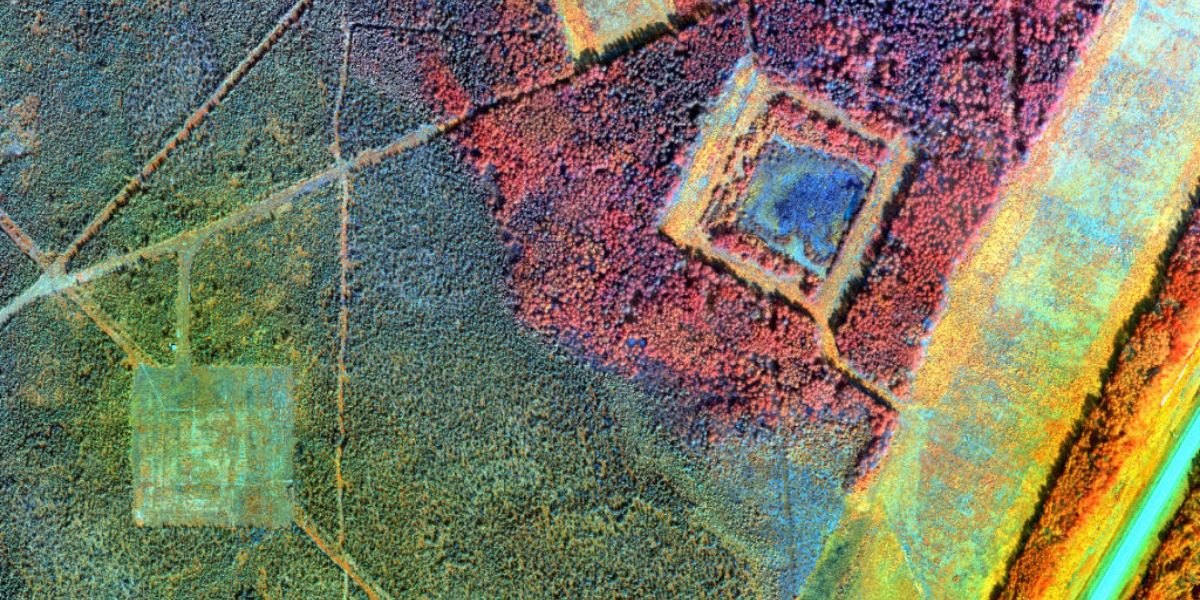
3D recreations of forests help management and research teams learn more about how forests are structured through the creation of useful geospatial data like digital terrain models.
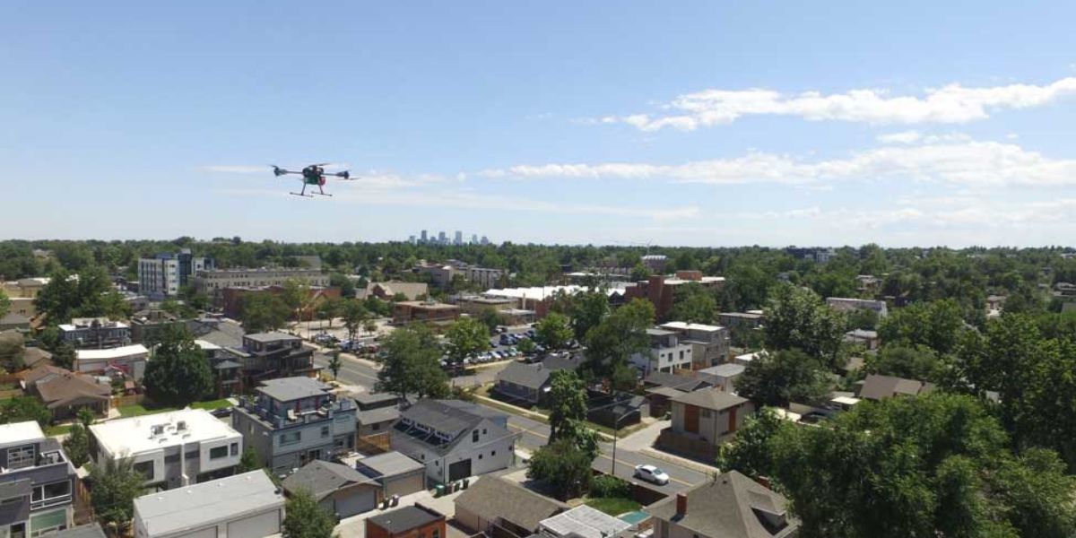
Remote sensing allows research and management teams to quickly survey large areas and automate the generation of tree parameters such as inventory counts, GPS locations of tree positions, canopy heights and much more.
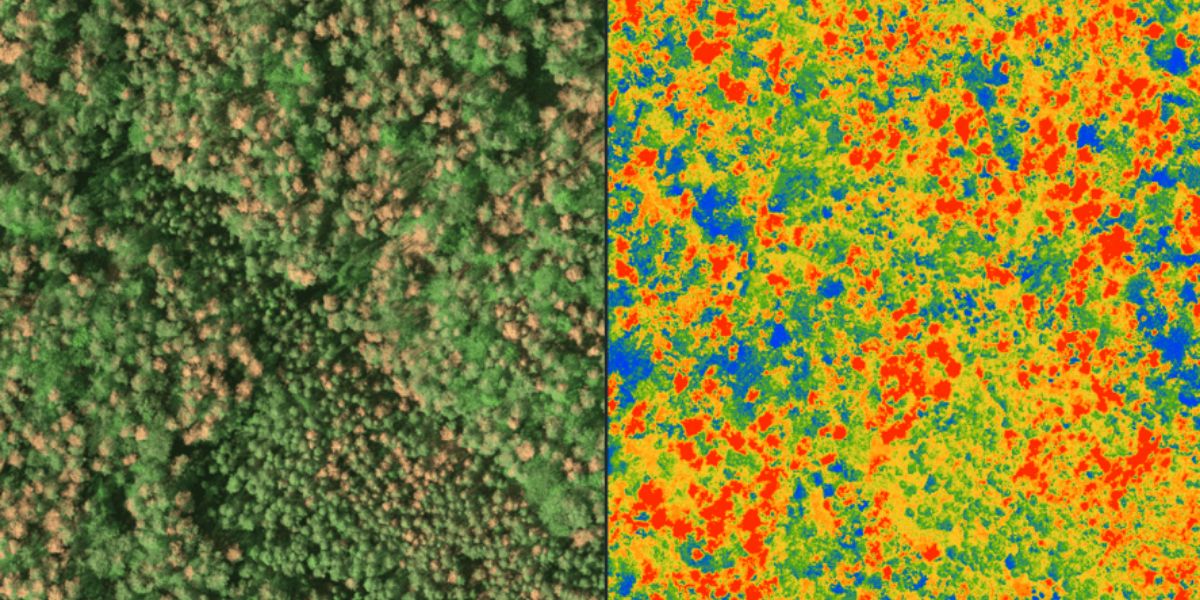
Prevalent forest disturbances such as fires, flooding, windstorms, droughts, overharvesting, pollution, fragmentation and biological invasions by insects and pathogens threaten the ecosystem. To mitigate disturbances and stress requires understanding where it occurs and what influences it may have at several spatial and temporal scales.
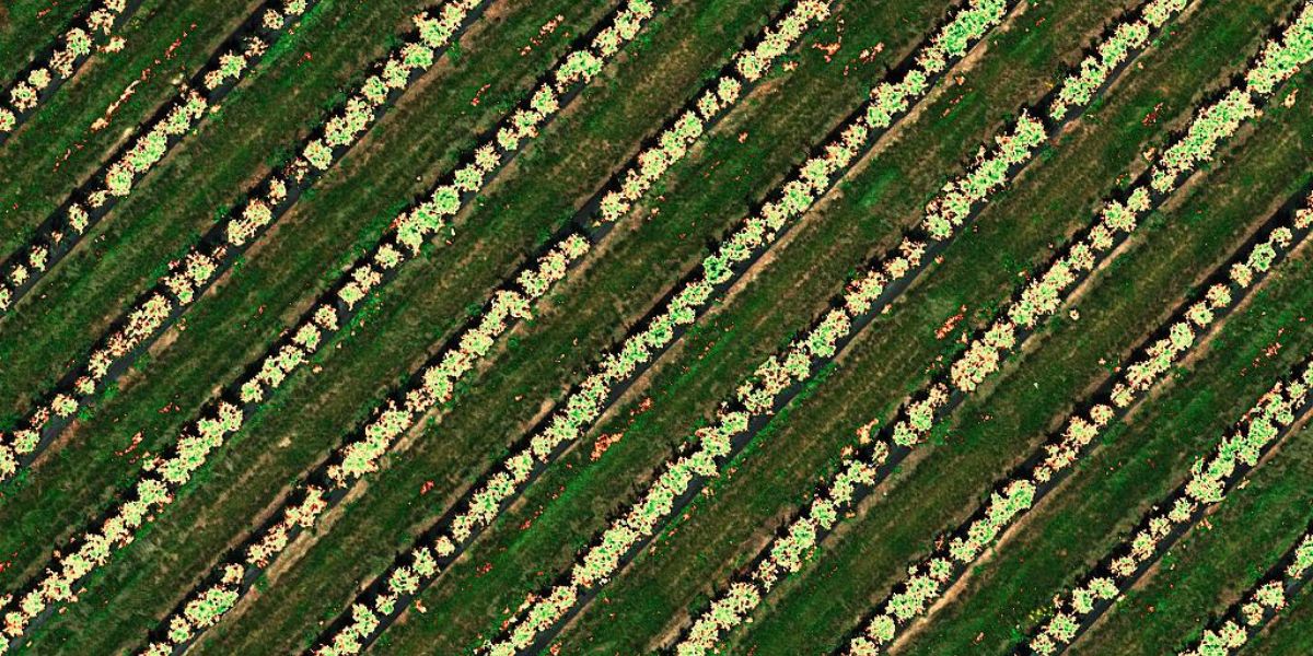
Aerial imagery and maps collected over time serve as a chronological record of the forest and aid in detecting new trees, monitoring growth and determining health assessments of healthy, stressed and degraded targets.

Aerial data is extremely useful to organizations working with government officials to improve inventory admittance, access and protection.
Block: grid_links
Block: flexible_cards
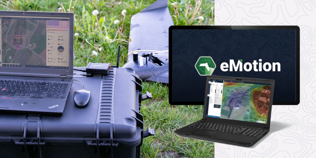
eMotion software is a leading drone software solution for flight planning, geotagging and photo stitching. From here the imagery can be exported for further processing in Pix4D and other software.

PIX4Dfields, PIX4Dmapper and PIX4Dmatic photogrammetry software are popular solutions for vegetation analyses, surveying an area, and automating large area mapping and monitoring.

Measure Ground Control can be used to manage a drone fleet, as well as to process multispectral imagery from MicaSense sensors.
Block: related_products
A high-performance, fixed-wing professional mapping drone designed for large-area aerial surveying and automated data capture.
Learn More
An advanced multi-payload sensor combining thermal and multispectral imaging for detailed aerial data analytics.
Learn MoreBlock: relevant_resources