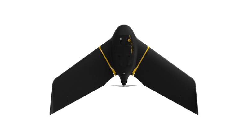
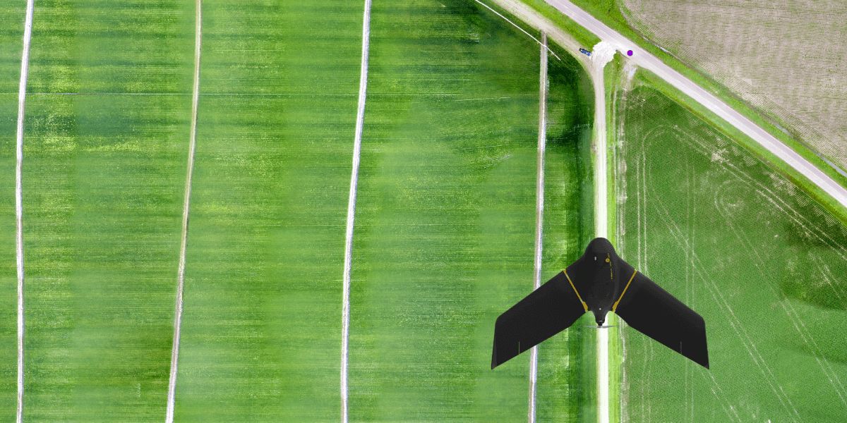
eBee X
A high-performance, fixed-wing professional mapping drone designed for large-area aerial surveying and automated data capture.
Learn MoreBlock: hero
UAV INDUSTRY SOLUTIONS
Block: features
Block: content_tabs
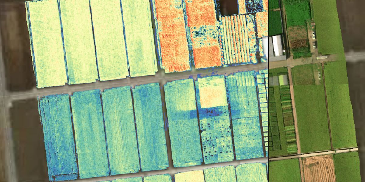
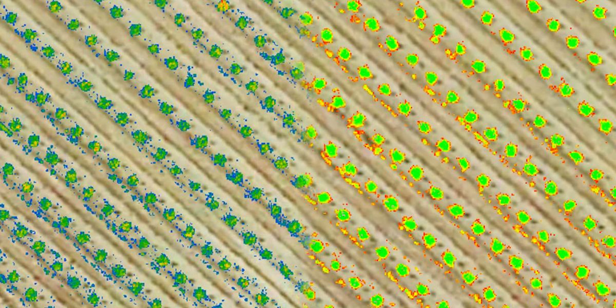
Assess and measure vegetation health, canopy cover, calculate biomass, identify disease and other threats, and monitor growth stages throughout the seasons.
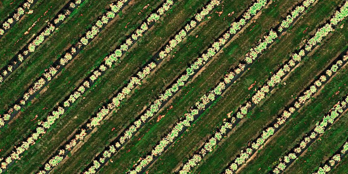
Capture high spatial and spectral resolution data to count plants and animals, either manually or with automated machine learning.
Identify and categorize vegetation according to species and other metrics, identify invasive species and plan corrective actions.
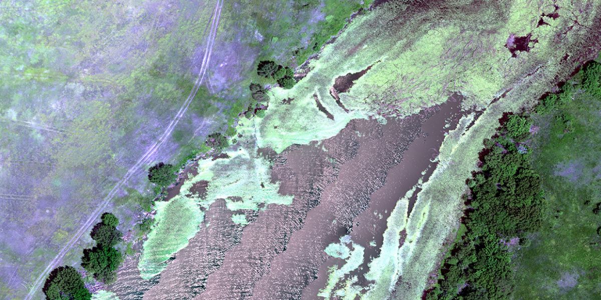
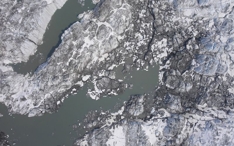
Understand landscape contours and soil properties to manage water flow, flooding and irrigation, or detect algae blooms in water bodies.
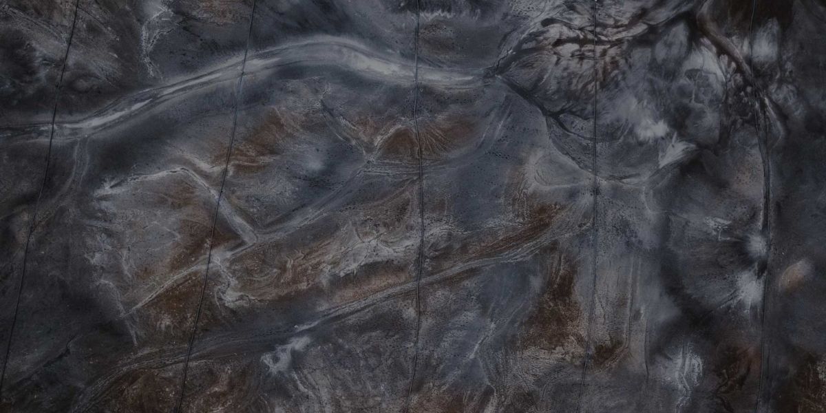
Map fire breaks, erosion, landscape changes and encroachment.
Monitor and track project progress and reporting, quickly generate area and volume reports and quantify costs.
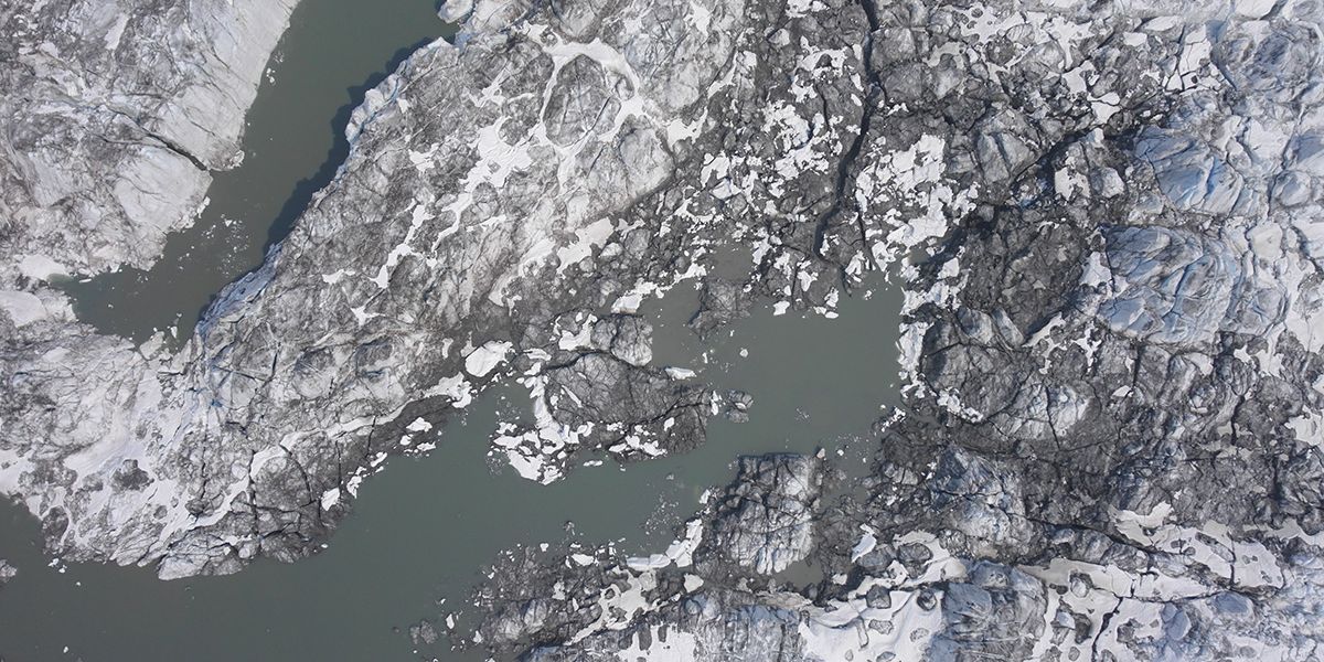
Map and manage land to optimize biodiversity, minimize risk, monitor land changes and degradation, and plan interventions early with a comprehensive understanding of the context.
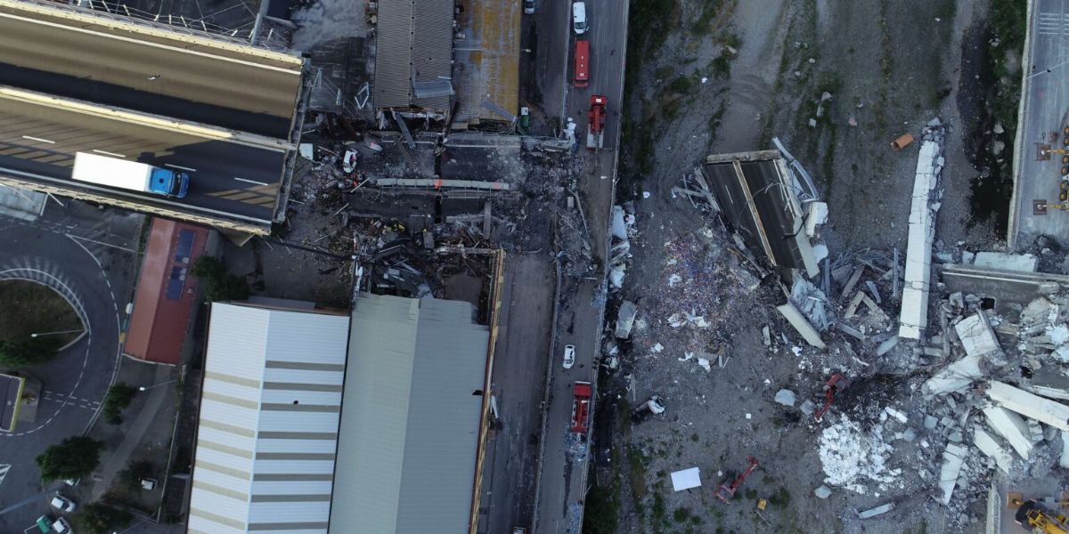
Fixed-wing drones can cover large areas in short times, making them useful for search and rescue missions in national parks.
Block: grid_links
Drone data output depends on the sensor and processing software. Select a sensor based on your data requirements. Your sensor choice will determine the drone you need to carry this payload. Typical drone data outputs you can expect from eBee drones, MicaSense and senseFly sensors and Measure Ground Control include:
Block: flexible_cards
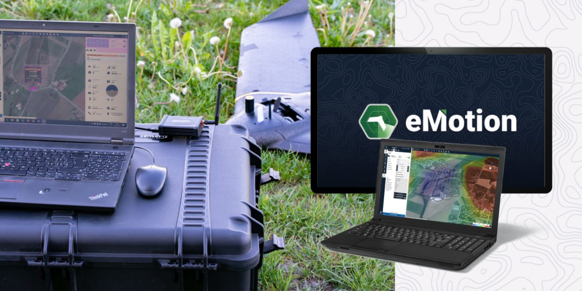
eMotion software is a leading drone software solution for flight planning, geotagging and photo stitching. From here the imagery can be exported for further processing in Pix4D and other software.

PIX4Dfields, PIX4Dmapper and PIX4Dmatic photogrammetry software are popular solutions for vegetation analyses, surveying an area, and automating large area mapping and monitoring. Pix4Dreact can be used for planning search and rescue missions.

Measure Ground Control can be used to manage a drone fleet, as well as to process multispectral imagery from MicaSense sensors.
Block: related_products
A high-performance, fixed-wing professional mapping drone designed for large-area aerial surveying and automated data capture.
Learn More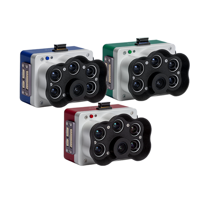
A high-resolution multispectral camera engineered for precision agriculture and environmental mapping.
Learn More
An advanced multi-payload sensor combining thermal and multispectral imaging for detailed aerial data analytics.
Learn MoreBlock: relevant_resources