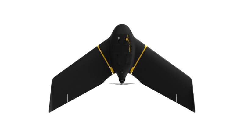
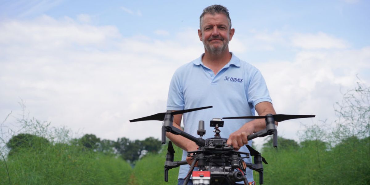
eBee X
A high-performance, fixed-wing professional mapping drone designed for large-area aerial surveying and automated data capture.
Learn MoreBlock: hero
UAV INDUSTRY SOLUTIONS
Block: features
Block: content_tabs
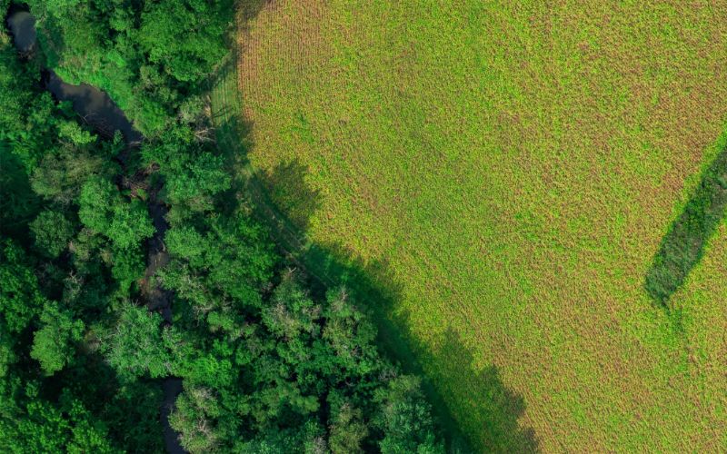
Professionals such as environmental engineers, researchers and conservationists are turning to drones in place of slower terrestrial surveying equipment, lower-resolution satellite imagery and expensive – and sometimes unavailable – manned aircraft services. Below are examples of how drone data can be used.
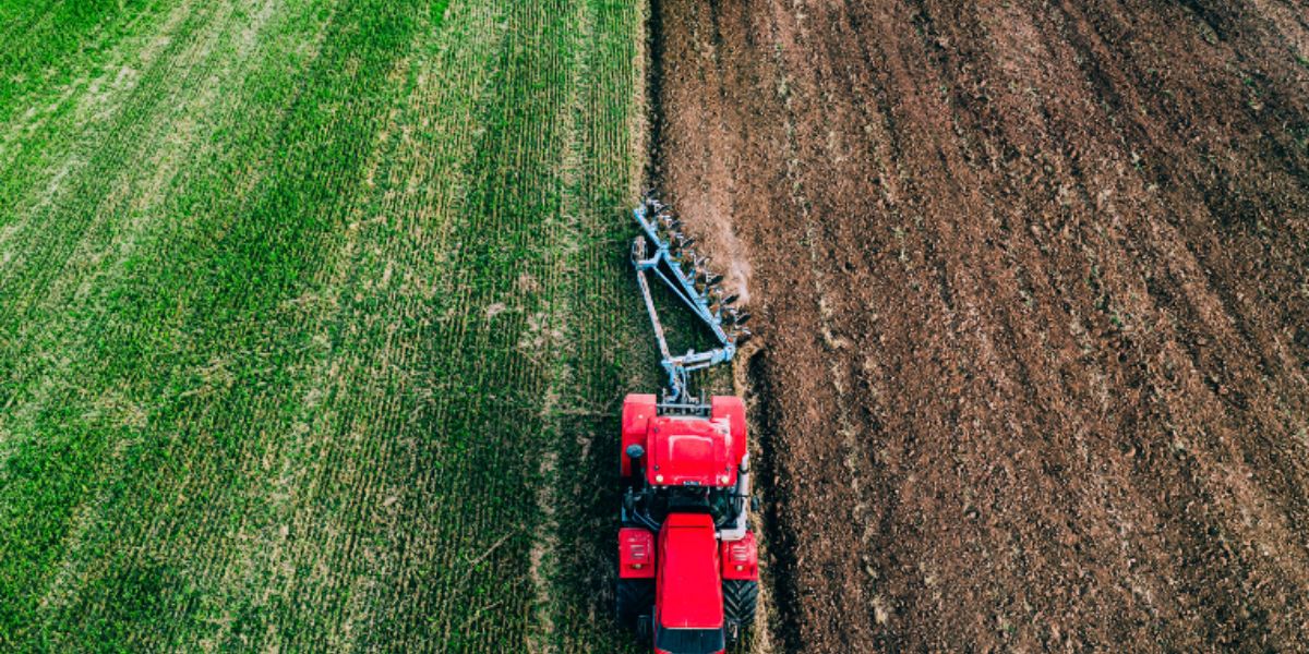
Analyze growth, soil conditions and precipitation for current yield estimations.
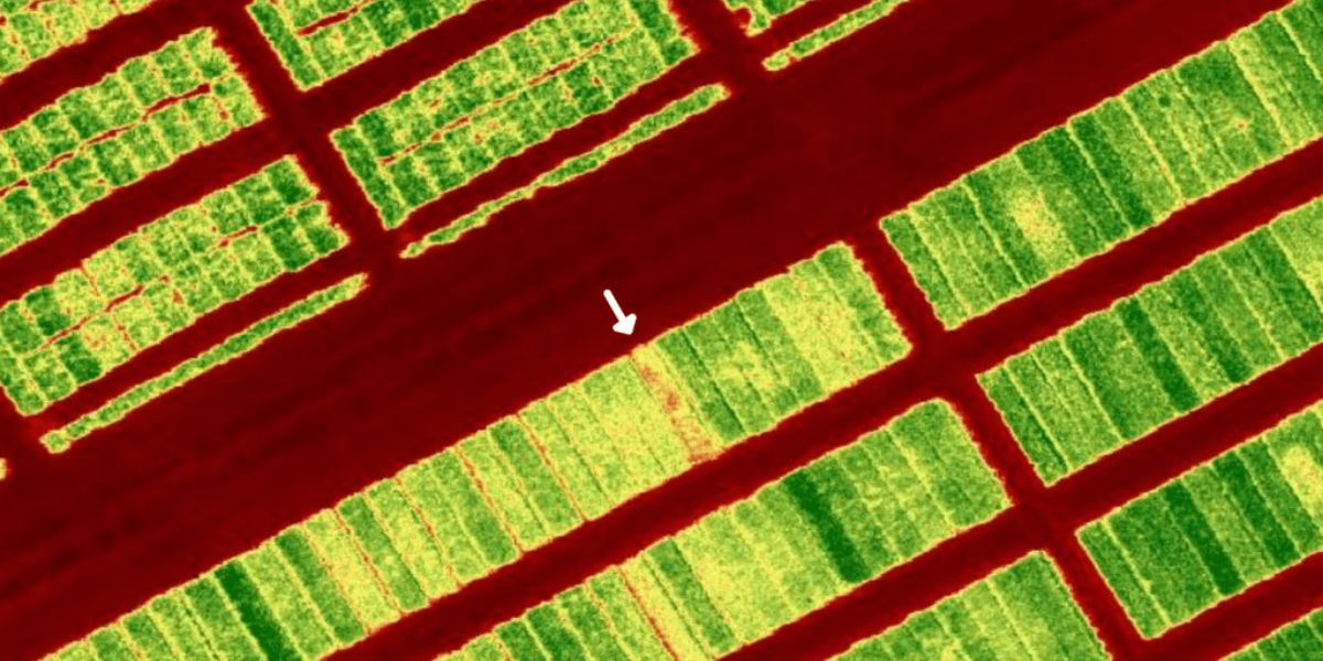
Map and monitor crop health and growth stage, and identify diseases and deficiencies early.
Optimally manage crop inputs such as fertilizer and pesticides to reduce cost and environmental impact, without sacrificing yield.
Monitor and assess optimal water usage, plan drainage and irrigation.
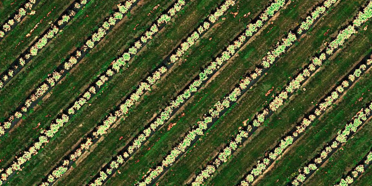
Conduct crop stand analyses and plant counting from emergence to harvest.

Assess hail, disease, fire and other damage to calculate cost impact and for insurance claims.
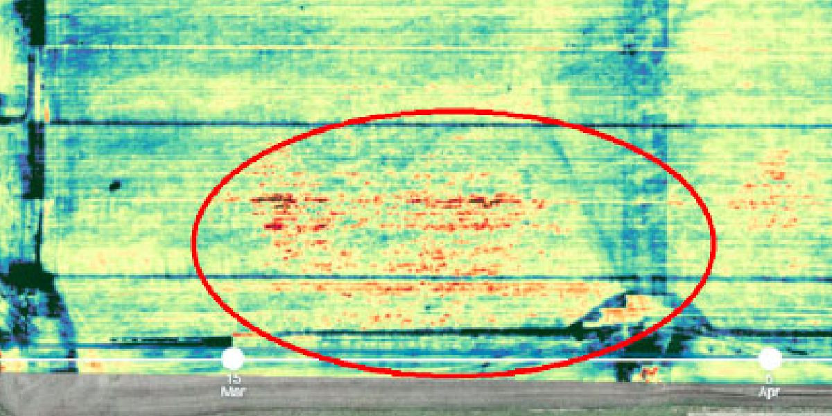
Identify and monitor crop diseases to reduce spread, protect yield, and support treatment decisions.
Gather high-accuracy data at speed for detailed crop analyses and repeatable results.
Block: grid_links
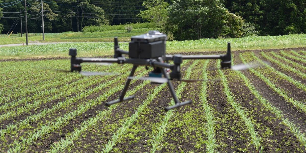
Drone data output depends on the sensor and processing software. Select a sensor based on your data requirements. Your sensor choice will determine the drone you need to carry this payload. Typical drone data outputs you can expect from eBee fixed-wing drones, MicaSense and eBee sensors and Measure Ground Control software include:
Block: flexible_cards
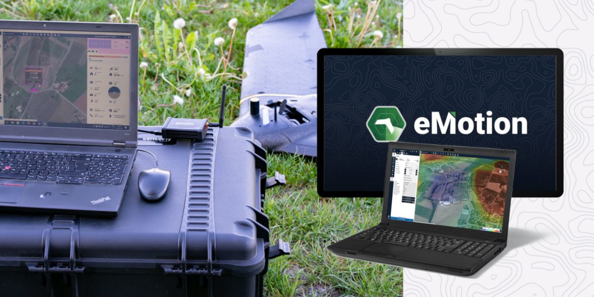
eMotion software is a leading drone software solution for flight planning, geotagging and photo stitching. From here the imagery can be exported for further processing in Pix4D and other software.

PIX4Dfields photogrammetry software is a popular solution for vegetation and crop mapping and analyses.

Measure Ground Control can be used to manage a drone fleet, as well as to process multispectral imagery from MicaSense sensors
Block: related_products
A high-performance, fixed-wing professional mapping drone designed for large-area aerial surveying and automated data capture.
Learn More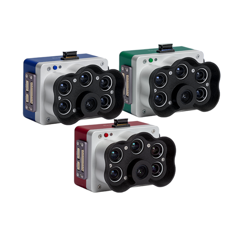
A high-resolution multispectral camera engineered for precision agriculture and environmental mapping.
Learn More
An advanced multi-payload sensor combining thermal and multispectral imaging for detailed aerial data analytics.
Learn MoreBlock: relevant_resources