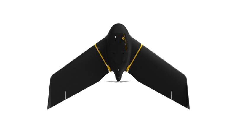
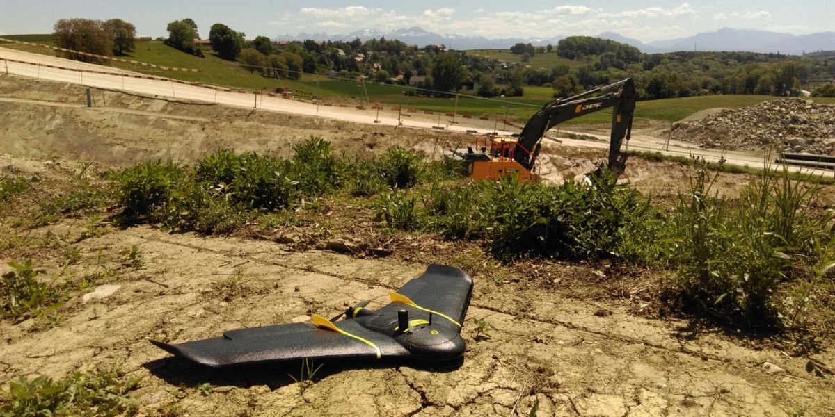
eBee X
A high-performance, fixed-wing professional mapping drone designed for large-area aerial surveying and automated data capture.
Learn MoreBlock: hero
UAV INDUSTRY SOLUTIONS

Block: features
Block: content_tabs
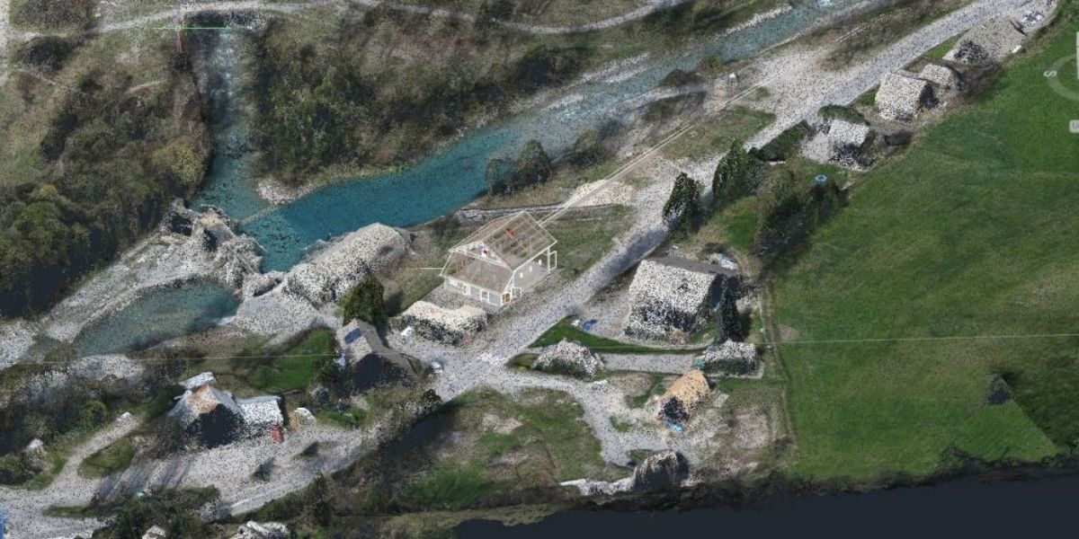
Fixed-wing drones can be used to capture accurate project and site conditions to determine a project’s feasibility, assist in cost estimations, and to plan and visualize work and logistics before a project starts.
Reduce time and costs to regularly map and survey infrastructure to a high spatial accuracy without downtime or interruption to other site work.
Capture and visualize infrastructure as it occurs in the real world. Work with up-to-date data for virtual design and planning, and avoid costly errors and reworks caused by out-of-date designs and information.
Stay on top of projects with accurate and up-to-date data to assess project schedules, track work progress, and adjust schedules as needed.
Generate volume and cut-and-fill reports, calculate costs based on area, and report progress quickly.
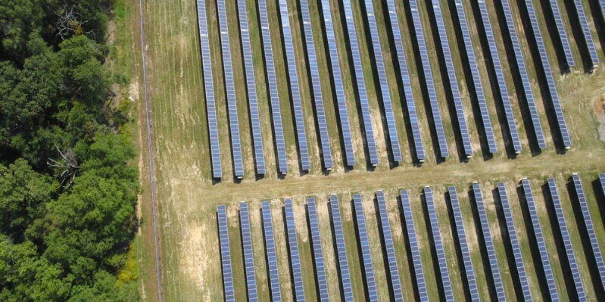
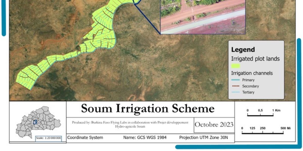
Map and inspect road surfaces, power lines, water bodies, and more. Use this to inform and plan maintenance, and for compliance reporting.
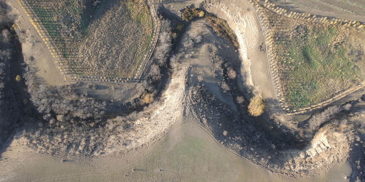
Capture accurate conditions prior to project commencement, monitor and mitigate environmental harm, restore damaged environments to their original state. Monitor and proof compliance throughout engineering works.
Visualize projects for clients, investors, and other stakeholders, and enhance collaboration and coordination once a project starts.
Block: grid_links
Block: flexible_cards
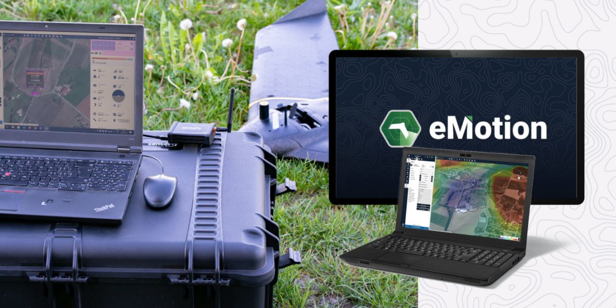
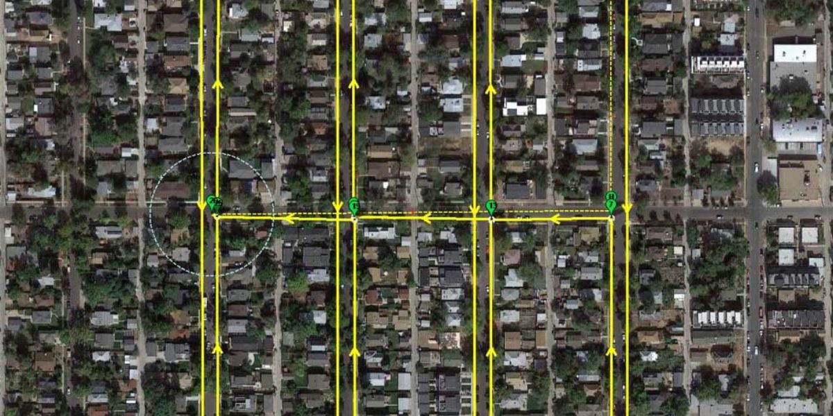
eMotion software is a leading drone softwarWhat software do you need? e solution for flight planning, geotagging and photo stitching. From here the imagery can be exported for further processing in Pix4D and other software.

Measure Ground Control software can be used to plan flights, manage drone fleets, and for mapping and data analyses.

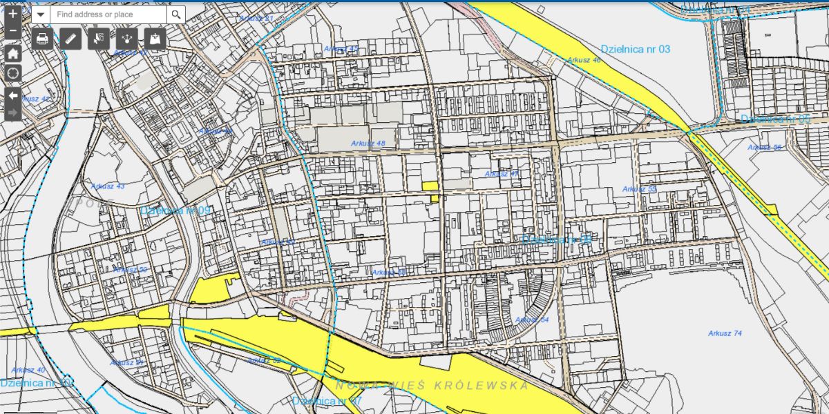
PIX4Dmapper and Pix4Dmatic photogrammetry software is a popular solution for accurate infrastructure mapping and analyses at scale.
Block: related_products
A high-performance, fixed-wing professional mapping drone designed for large-area aerial surveying and automated data capture.
Learn More
An advanced multi-payload sensor combining thermal and multispectral imaging for detailed aerial data analytics.
Learn More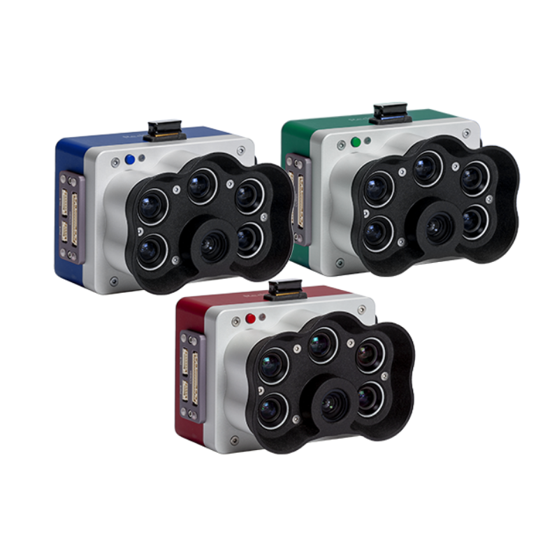
A high-resolution multispectral camera engineered for precision agriculture and environmental mapping.
Learn MoreBlock: relevant_resources