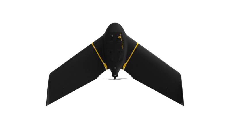
eBee X
A high-performance, fixed-wing professional mapping drone designed for large-area aerial surveying and automated data capture.
Learn MoreBlock: hero
UAV INDUSTRY SOLUTIONS
Block: features
Block: content_tabs
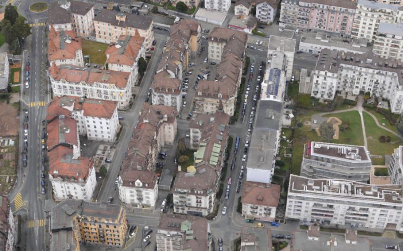
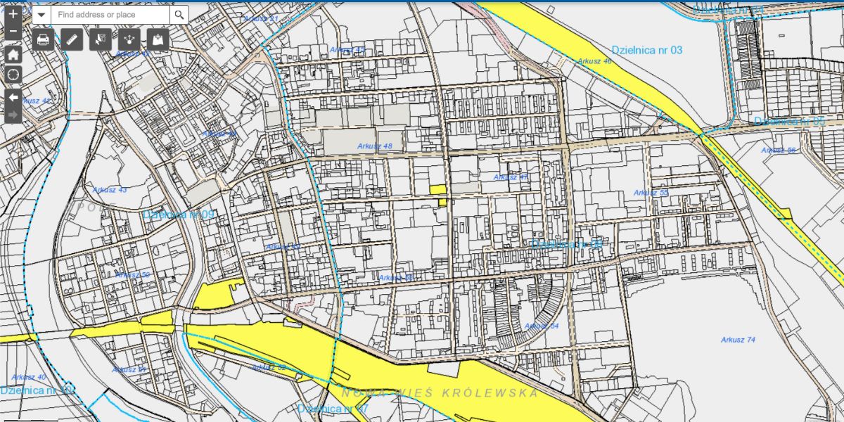
High-resolution orthomosaics and 3D models enable surveyors to generate detailed cadastral maps capable of displaying property lines, drainage points and utilities.
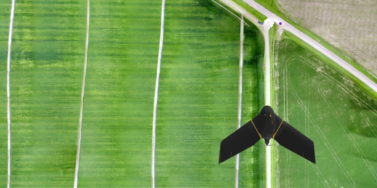
Simple topographic surveys are useful for environmental monitoring, planning efforts like site scouting and construction of roadways, buildings and infrastructure.
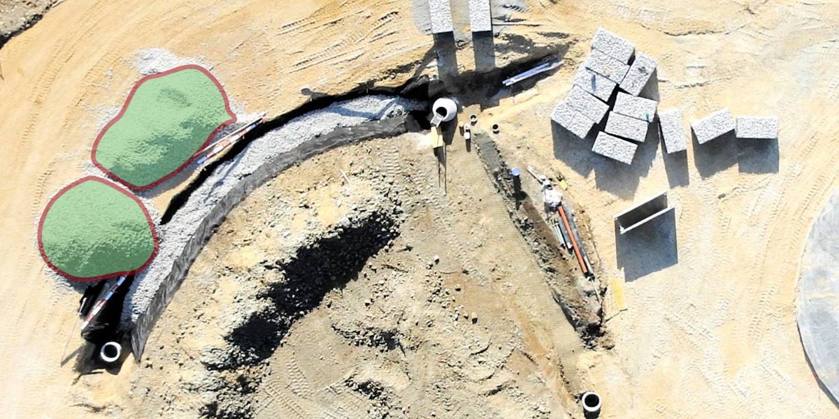
Aerial data is valuable across every stage of the project workflow from topographical surveys for bidding and pre-construction to tracking earthworks progress, calculating stockpile volumes or generating weekly reports and monthly KPIs.
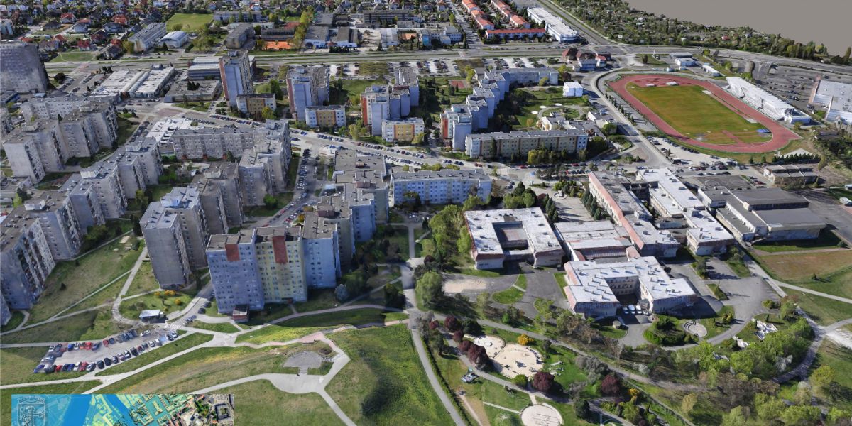
Current maps and 3D models are helpful to city planners who analyze the complex dynamics of social, environmental and industrial areas and consider the impact of various development projects. Here, planners can measure roof heights, cast virtual shadows from buildings to simulate different times of day and segment areas by overlaying aerial and zoning maps.
Block: grid_links
The data output depends on your sensor and processing software, as dictated by your data requirements, which in turn determines the surveying drone you will need to carry the payload with sufficient flight time. Typical drone data outputs you can expect from eBee drones, MicaSense sensors and Measure Ground Control include:
Block: flexible_cards
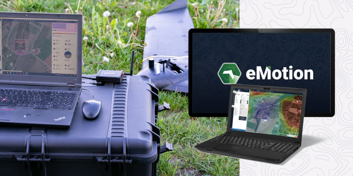
eMotion software is a leading drone software solution for flight planning, geotagging and photo stitching. From here the imagery can be exported for post processing in Pix4D and other software.

PIX4Dsurvey and PIX4Dcloud are popular photogrammetry solutions for generating orthomosaic maps and 3D DSMs for sharing.

Measure Ground Control can be used to manage a drone fleet, as well as to process multispectral imagery from MicaSense sensors. Surveyors and GIS professionals can use Measure to access data from anywhere in real-time, track and monitor several projects at once while streamlining communications and reporting.
Block: related_products
A high-performance, fixed-wing professional mapping drone designed for large-area aerial surveying and automated data capture.
Learn More
An advanced multi-payload sensor combining thermal and multispectral imaging for detailed aerial data analytics.
Learn More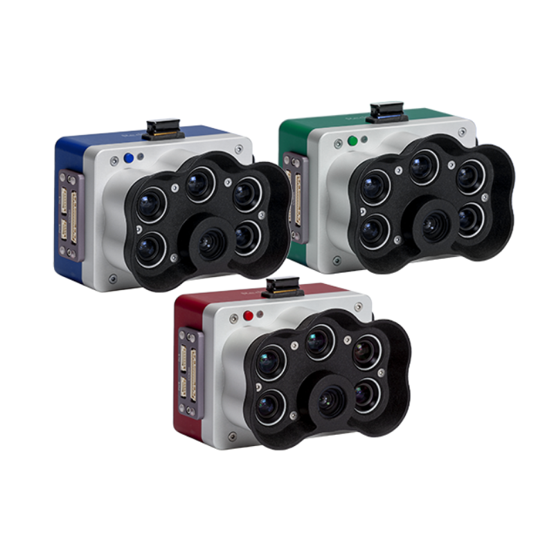
A high-resolution multispectral camera engineered for precision agriculture and environmental mapping.
Learn MoreBlock: relevant_resources