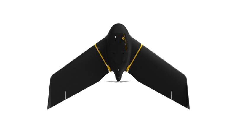
eBee X
A high-performance, fixed-wing professional mapping drone designed for large-area aerial surveying and automated data capture.
Learn MoreBlock: hero
UAV INDUSTRY SOLUTIONS
Block: features
Block: content_tabs
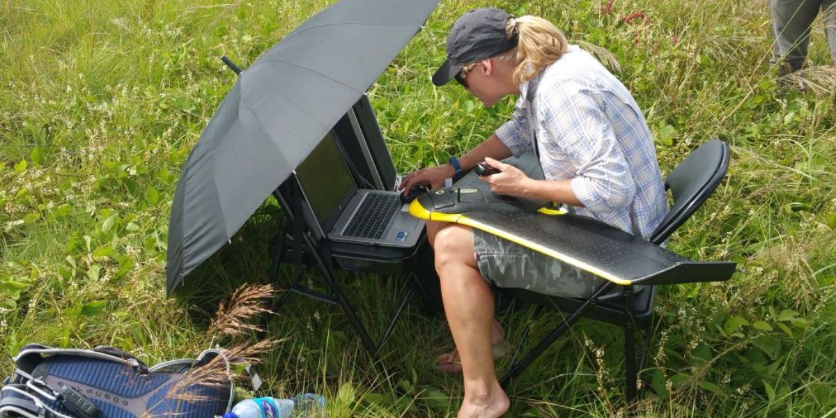 Feasibility assessment
Assess research project feasibility with real-world data, conditions and context to help plan logistics, methodology, cost and more.
Map, measure, monitor and model changes in a landscape for research or to track project progress.
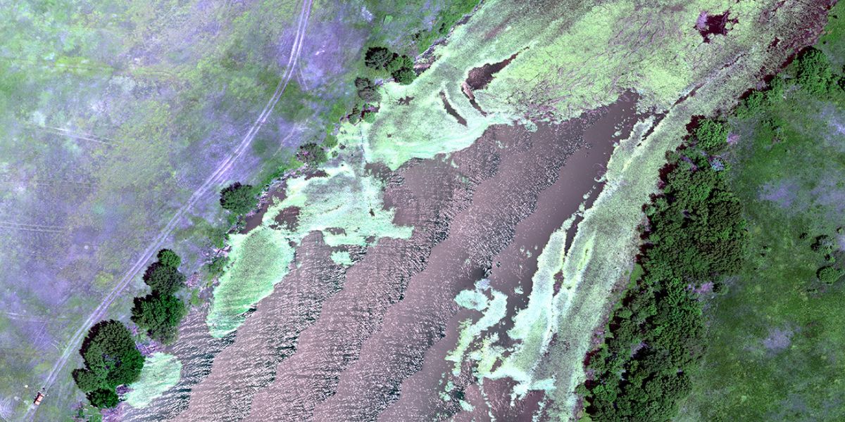
Use drone EagleNXT’s drone data solutions to capture accurate and high spatial, spectral and temporal resolution data for research in agriculture, forestry, conservation and more.
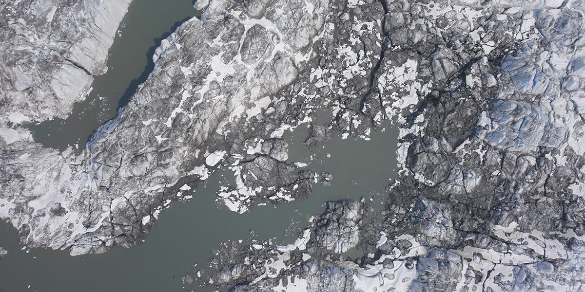
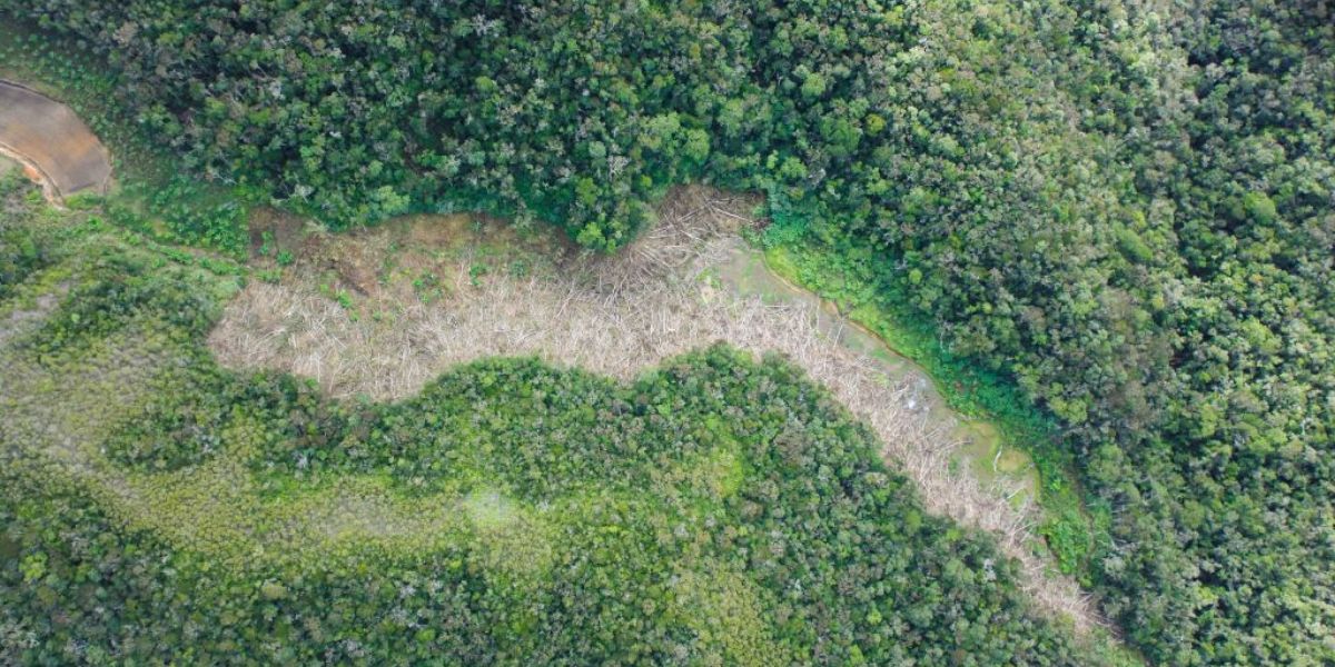
Conduct water and climate-related research over large areas, including water flow and drought modeling, soil erosion mapping, species counting and classifications.
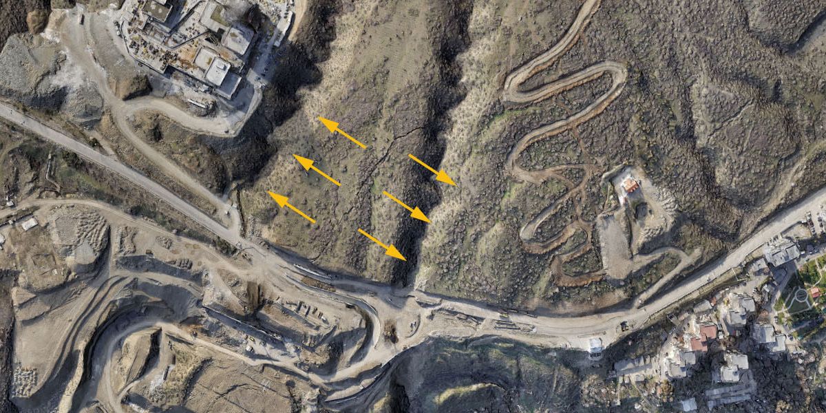
Map archeology sites to engineering accuracies for desktop studies and modeling; Understand rock and other geological formations with large area maps.

Capture and analyze high-accuracy built environment data such as thermal maps for power substations, roads, towns or more to study infrastructure phenomena or town planning.
Block: grid_links
Block: flexible_cards
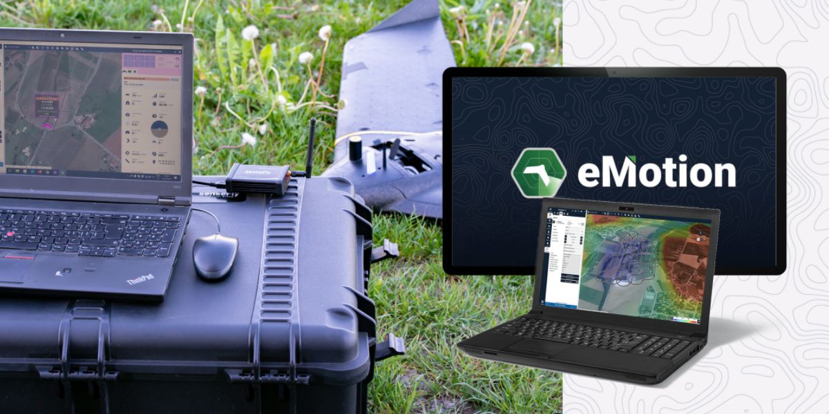
eMotion software is a leading drone software solution for flight planning, geotagging and photo stitching. From here the imagery can be exported for further processing in Pix4D and other software.
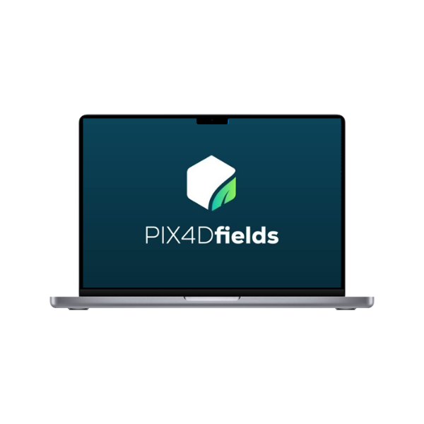
PIX4Dfields photogrammetry software is a popular solution for vegetation and crop mapping and analyses.

Measure Ground Control can be used to manage a drone fleet, as well as to process multispectral imagery from MicaSense sensors.
Block: related_products
A high-performance, fixed-wing professional mapping drone designed for large-area aerial surveying and automated data capture.
Learn More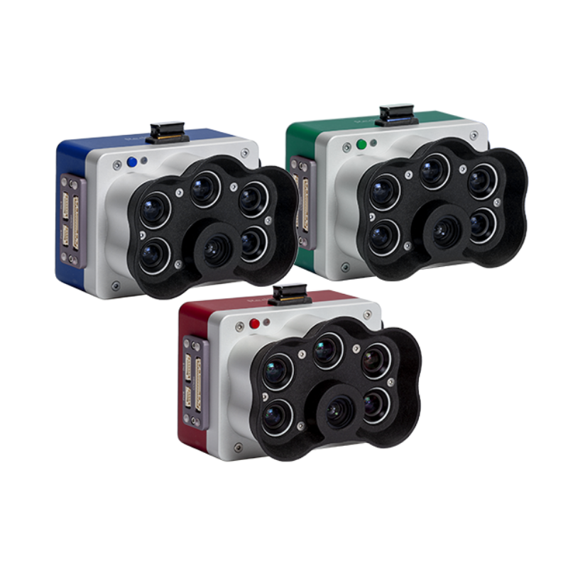
A high-resolution multispectral camera engineered for precision agriculture and environmental mapping.
Learn More
An advanced multi-payload sensor combining thermal and multispectral imaging for detailed aerial data analytics.
Learn MoreBlock: relevant_resources