Block: hero
SENSORS
eBee series
Block: flexible_cards
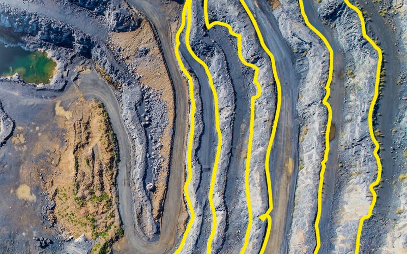
Aeria X
High-resolution RGB camera for precision mapping.
Sensor:
24 MP RGB
Industry:
- Agriculture
- Construction
- Defense
- Environmental monitoring
- Mining, quarries, aggregates
- Public safety
- Research and education
- Service providers
- Surveying, mapping, GIS
- Utilities
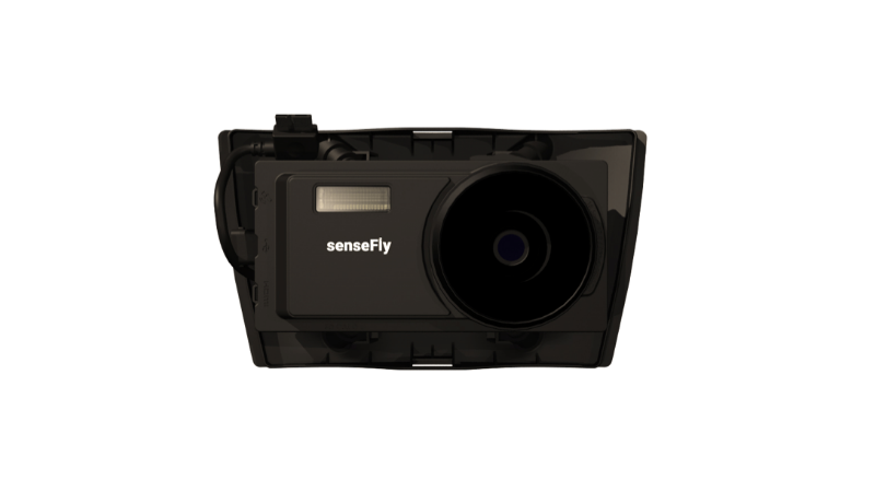
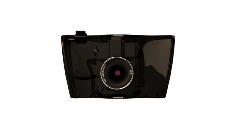
S.O.D.A 3D
Photogrammetry sensor optimized for 3D mapping applications.
Sensor:
20 MP RGB + 3D
Industry:
- Agriculture
- Construction
- Defense
- Environmental monitoring
- Mining, quarries, aggregates
- Public safety
- Research and education
- Service providers
- Surveying, mapping, GIS
- Utilities
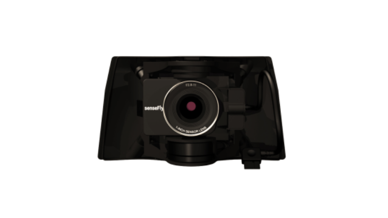
S.O.D.A
Photogrammetry sensor optimized for drone applications.
Sensor:
20 MP RGB
Industry:
- Environmental monitoring
- Surveying, mapping, GIS
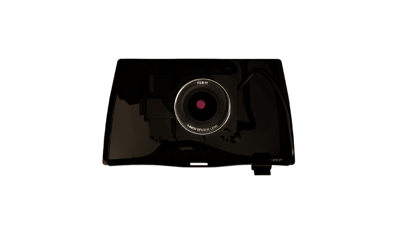
Corridor
Portrait-oriented camera for optimized linear mapping.
Sensor:
20 MP RGB
Portrait position requires 30% fewer images and processing time for corridor mapping.
Industry:
- Construction
- Environmental monitoring
- Surveying, mapping, GIS
- Utilities
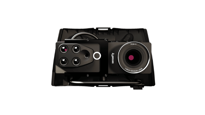
Duet M
Dual-purpose RGB and multispectral camera.
Sensor:
4 Multispectral bands + 20 MP RGB
Industry:
- Agriculture
- Environmental monitoring
Block: callouts